
1915 Map of Soda Canyon
USGS Topo · Published 1915About this map
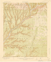
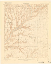
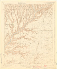
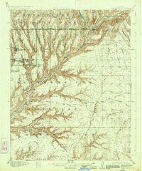
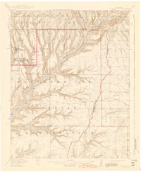
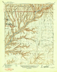
Cliff Palace and Sprucetree House anchor this 1915 topographic study of the canyon-cut terrain where Mesa Verde National Park meets the Southern Ute Indian Reservation. The map documents the early systematic recording of ancestral Puebloan sites, including Balcony House, Swallows Nest, and the Double Walled Tower. The landscape is dominated by the Mancos River and a complex system of tributary canyons like Navajo Canyon and Soda Canyon that dissect the great mesas.
Find a feature on this map
64 named features on this map. Tap any name to fly to it.
Don’t see what you’re looking for? This feature index may not catch every label — zoom into the map to look around manually.
Map Details
Editions of this 1915 Soda Canyon Map
7 editions found
Other maps of this area

1889 · Chaco
USGS Topo · 1:250,000

1892 · Chaco
USGS Topo · 1:250,000

1895 · La Plata
USGS Topo · 1:62,500

1897 · La Plata
USGS Topo · 1:62,500

1899 · La Plata
USGS Topo · 1:62,500

1908 · La Plata
USGS Topo · 1:62,500

1912 · Soda Canyon
USGS Topo · 1:62,500

1913 · Red Mesa
USGS Topo · 1:62,500

1934 · Chimney Rock
USGS Topo · 1:62,500

1936 · Chimney Rock
USGS Topo · 1:62,500