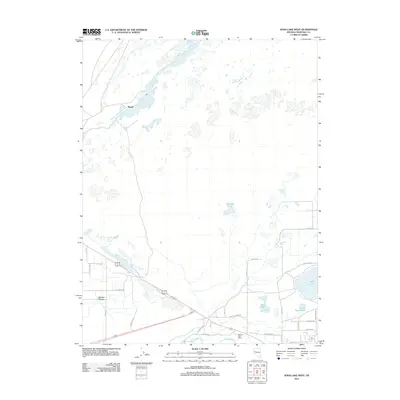
2011 Map of Soda Lake West
USGS Topo · Published 2011About this map
The Ragtown Post Office stands as a focal point of historical continuity along the Carson River in this Churchill County landscape. The region's unique hydrography is defined by the volcanic craters of Soda Lake and Little Soda Lake, which contrast with the agricultural and riparian corridor carved by the river. Near the western edge, the settlement of Massie and the elevated terrain of Swingle Bench indicate localized development patterns shaped by the available water sources in the high desert. A network of rural routes, including Pioneer Way and Marshall Dr, connects these isolated outposts to the larger river system. Smaller water bodies like Mud Lake and Mustang Pond dot the northern reaches, reflecting the complex drainage and irrigation needs of the Nevada interior.
Find a feature on this map
28 named features on this map. Tap any name to fly to it.
Don’t see what you’re looking for? This feature index may not catch every label — zoom into the map to look around manually.
Map Details
Editions of this 2011 Soda Lake West Map
This is the sole edition of this map. No revisions or reprints were ever made.
Other maps of this area

1890 · Wadsworth
USGS Topo · 1:125,000

1891 · Wabuska
USGS Topo · 1:125,000

1892 · Wadsworth
USGS Topo · 1:125,000

1894 · Wadsworth
USGS Topo · 1:125,000

1894 · Wabuska
USGS Topo · 1:125,000

1908 · Carson Sink
USGS Topo · 1:250,000

1910 · Carson Sink
USGS Topo · 1:250,000

1951 · Soda Lake
USGS Topo · 1:62,500

1951 · Fallon
USGS Topo · 1:62,500

1957 · Two Tips
USGS Topo · 1:62,500