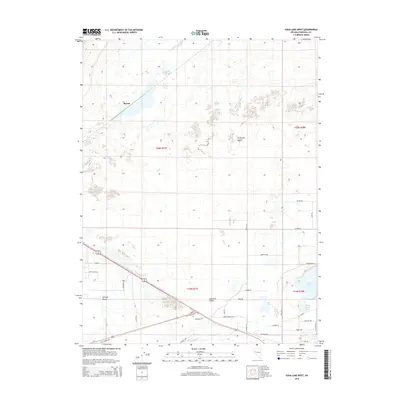
2014 Map of Soda Lake West
USGS Topo · Published 2014About this map
Fortymile Desert and the Lahontan Valley meet in this Churchill County landscape, where water and arid terrain define the settlement patterns of the early 21st century. The map centers on the transition from the high desert to the irrigated lowlands, marked by the presence of Massie in the north and the dispersed community at Swingle Bench to the south. Historically significant water features dominate the eastern and southern margins, including the prominent volcanic basins of Soda Lake and Little Soda Lake, as well as the seasonal Mud Lake. Along the southern edge, the Carson River flows through the valley, flanked by the Old Carson Hwy. This survey illustrates the modern road network, including family-named routes such as Fulkerson Rd and King Dr, which serve the agricultural and residential plots carved out of the desert floor.
Find a feature on this map
37 named features on this map. Tap any name to fly to it.
Don’t see what you’re looking for? This feature index may not catch every label — zoom into the map to look around manually.
Map Details
Editions of this 2014 Soda Lake West Map
This is the sole edition of this map. No revisions or reprints were ever made.
Other maps of this area

1890 · Wadsworth
USGS Topo · 1:125,000

1891 · Wabuska
USGS Topo · 1:125,000

1892 · Wadsworth
USGS Topo · 1:125,000

1894 · Wadsworth
USGS Topo · 1:125,000

1894 · Wabuska
USGS Topo · 1:125,000

1908 · Carson Sink
USGS Topo · 1:250,000

1910 · Carson Sink
USGS Topo · 1:250,000

1951 · Soda Lake
USGS Topo · 1:62,500

1951 · Fallon
USGS Topo · 1:62,500

1957 · Two Tips
USGS Topo · 1:62,500