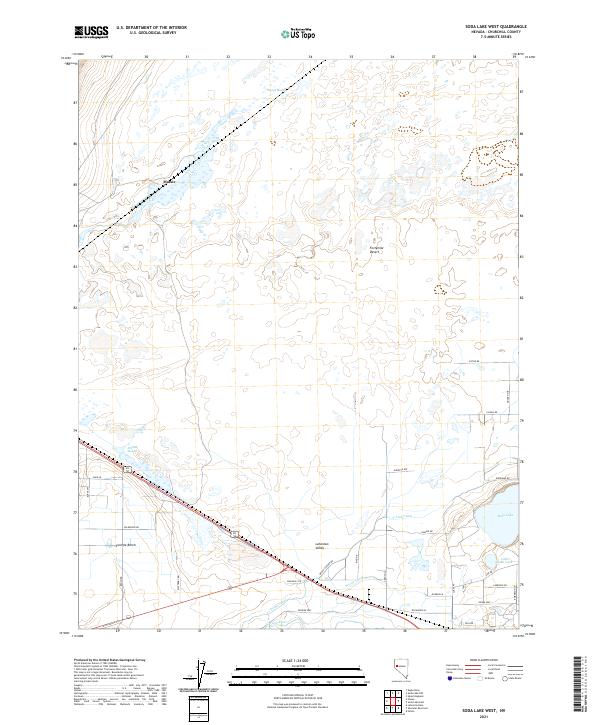
2021 Map of Soda Lake West
USGS Topo · Published 2021About this map
Lahontan Valley water management and desert transit define this landscape where the Carson River meets complex irrigation networks. The southern half of the sheet shows the engineered precision of the T Line Canal and N Line Canal, essential infrastructure that reclaimed land for agricultural use in the Swingle Bench area. These man-made channels contrast with the natural depression of the Fortymile Desert to the north, a name that recalls the arduous trek of early emigrants across this arid stretch of the Nevada basin.
Find a feature on this map
41 named features on this map. Tap any name to fly to it.
Don’t see what you’re looking for? This feature index may not catch every label — zoom into the map to look around manually.
Map Details
Editions of this 2021 Soda Lake West Map
This is the sole edition of this map. No revisions or reprints were ever made.
Other maps of this area

1890 · Wadsworth
USGS Topo · 1:125,000

1891 · Wabuska
USGS Topo · 1:125,000

1892 · Wadsworth
USGS Topo · 1:125,000

1894 · Wadsworth
USGS Topo · 1:125,000

1894 · Wabuska
USGS Topo · 1:125,000

1908 · Carson Sink
USGS Topo · 1:250,000

1910 · Carson Sink
USGS Topo · 1:250,000

1951 · Soda Lake
USGS Topo · 1:62,500

1951 · Fallon
USGS Topo · 1:62,500

1957 · Two Tips
USGS Topo · 1:62,500