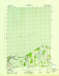
1943 Map of Sodus Point
USGS Topo · Published 1943About this map
Sodus Bay and the shoreline of Lake Ontario define this 1943 survey, which documents the maritime and rail infrastructure of Wayne County during the war years. At the entrance to the harbor, the Sodus Point L H stands as a primary navigational aid, while the terminal of the Pennsylvania railroad marks the village of Sodus Point as a vital shipping hub. The map provides a detailed look at the complex coastal geography, including the narrow Crescent Beach bar and several prominent landforms such as Charles Pt, Sand Pt, and Thornton Pt.
Find a feature on this map
24 named features on this map. Tap any name to fly to it.
Don’t see what you’re looking for? This feature index may not catch every label — zoom into the map to look around manually.
Map Details
Editions of this 1943 Sodus Point Map
This is the sole edition of this map. No revisions or reprints were ever made.
Other maps of this area
1899 · Palmyra
USGS Topo · 1:62,500
1902 · Sodus Bay
USGS Topo · 1:62,500
1902 · Pultneyville
USGS Topo · 1:62,500
1902 · Clyde
USGS Topo · 1:62,500
1902 · Palmyra
USGS Topo · 1:62,500
1943 · Sodus
USGS Topo · 1:31,680
1943 · Wolcott
USGS Topo · 1:31,680
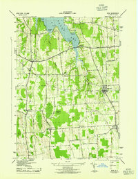
1943 · Rose
USGS Topo · 1:31,680
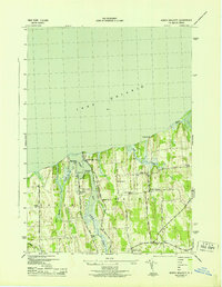
1943 · North Wolcott
USGS Topo · 1:31,680
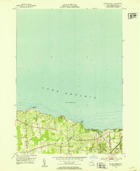
1952 · Salmon Creek
USGS Topo · 1:24,000