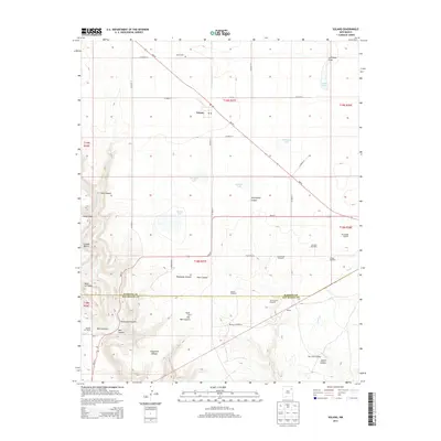
2013 Map of Solano
USGS Topo · Published 2013About this map
Solano stands as the primary settlement in this northeastern New Mexico landscape, situated at the junction of NM-39 and Co Road P-1. This 2013 survey illustrates a high-plains environment where water is a critical resource, evidenced by the numerous named windmills including Steinbaugh Windmill and Leatherman Windmill. The terrain is defined by deep draws and canyons, such as the evocative Hole-in-the-Wall Canyon and Thompson Canyon, which cut through the tablelands of Mesa Cortada.
Find a feature on this map
52 named features on this map. Tap any name to fly to it.
Don’t see what you’re looking for? This feature index may not catch every label — zoom into the map to look around manually.
Map Details
Editions of this 2013 Solano Map
This is the sole edition of this map. No revisions or reprints were ever made.
Other maps of this area

1954 · Santa Fe
USGS Topo · 1:250,000

1954 · Tucumcari
USGS Topo · 1:250,000

1958 · Santa Fe
USGS Topo · 1:250,000

1958 · Tucumcari
USGS Topo · 1:250,000

1969 · Chinaberry Canyon
USGS Topo · 1:24,000

1972 · Montoya Point
USGS Topo · 1:24,000

1972 · Waggoner Ranch
USGS Topo · 1:24,000

1973 · Mosquero
USGS Topo · 1:24,000

1973 · Sabino
USGS Topo · 1:24,000
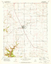
1974 · Roy
USGS Topo · 1:24,000