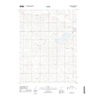
2018 Map of Soldier Creek NE
USGS Topo · Published 2018About this map
Holton stands as the primary hub of this Jackson County landscape, situated on the eastern edge of a region defined by its complex drainage network. The town's western reaches are anchored by Banner Creek Reservoir, a significant water feature fed by Banner Cr. The surrounding terrain shows a distinct pattern of ridgelines and creek valleys, including the prominent W Ridge that overlooks the central portion of the quadrangle.
Find a feature on this map
32 named features on this map. Tap any name to fly to it.
Don’t see what you’re looking for? This feature index may not catch every label — zoom into the map to look around manually.
Map Details
Editions of this 2018 Soldier Creek NE Map
This is the sole edition of this map. No revisions or reprints were ever made.
Other maps of this area

1888 · Hiawatha
USGS Topo · 1:125,000

1889 · Topeka
USGS Topo · 1:125,000

1894 · Topeka
USGS Topo · 1:125,000

1894 · Hiawatha
USGS Topo · 1:125,000

1950 · Kansas City
USGS Topo · 1:250,000

1954 · Kansas City
USGS Topo · 1:250,000

1956 · Kansas City
USGS Topo · 1:250,000

1960 · Kansas City
USGS Topo · 1:250,000
1960 · Mayetta
USGS Topo · 1:24,000
1960 · Holton
USGS Topo · 1:24,000