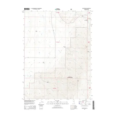
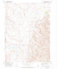
2014 Map of Soldier Peak
USGS Topo · Published 2014About this map
Fort Halleck Cemetery stands as a quiet marker of the region's 19th-century military history, located at the western base of the high country. This landscape is defined by the steep transition from the valley floor into the southern reaches of the Humboldt National Forest, where the terrain rises sharply toward the Ruby Mountains. The map reveals a complex network of seasonal drainages and springs that have long dictated movement through this high-desert environment, including Emigrant Spring and Warm Spring.
Find a feature on this map
36 named features on this map. Tap any name to fly to it.
Don’t see what you’re looking for? This feature index may not catch every label — zoom into the map to look around manually.
Map Details
Editions of this 2014 Soldier Peak Map
This is the sole edition of this map. No revisions or reprints were ever made.
Other maps of this area

1935 · Halleck
USGS Topo · 1:125,000

1955 · Elko
USGS Topo · 1:250,000

1958 · Elko
USGS Topo · 1:250,000

1962 · Elko
USGS Topo · 1:250,000

1962 · Lamoille
USGS Topo · 1:62,500

1965 · Elko
USGS Topo · 1:250,000
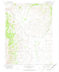
1969 · Secret Valley
USGS Topo · 1:24,000
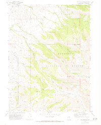
1969 · Tent Mountain
USGS Topo · 1:24,000
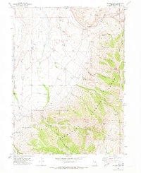
1970 · Soldier Peak
USGS Topo · 1:24,000
1971 · Heelfly Creek
USGS Topo · 1:24,000