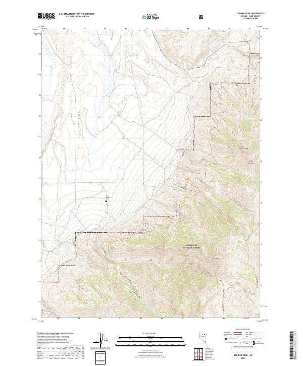
2021 Map of Soldier Peak
USGS Topo · Published 2021About this map
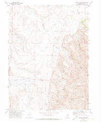
The Fort Halleck Cem serves as a silent reminder of the military presence that once anchored this portion of the Ruby Mountains. Located in a landscape defined by dramatic shifts in elevation, the map details the high peaks of the Humboldt National Forest, including the prominent Soldier Peak and Secret Peak. These summits overlook a complex system of drainage and transit, where historic routes like the Lamoille-Gardner Creek Th Trl and John Day Trl navigate the steep canyons.
Find a feature on this map
51 named features on this map. Tap any name to fly to it.
Don’t see what you’re looking for? This feature index may not catch every label — zoom into the map to look around manually.
Map Details
Editions of this 2021 Soldier Peak Map
This is the sole edition of this map. No revisions or reprints were ever made.
Other maps of this area

1935 · Halleck
USGS Topo · 1:125,000

1955 · Elko
USGS Topo · 1:250,000

1958 · Elko
USGS Topo · 1:250,000

1962 · Elko
USGS Topo · 1:250,000

1962 · Lamoille
USGS Topo · 1:62,500

1965 · Elko
USGS Topo · 1:250,000
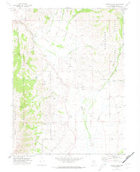
1969 · Secret Valley
USGS Topo · 1:24,000
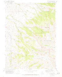
1969 · Tent Mountain
USGS Topo · 1:24,000
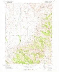
1970 · Soldier Peak
USGS Topo · 1:24,000
1971 · Heelfly Creek
USGS Topo · 1:24,000