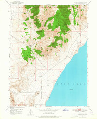
1950 Map of Soldiers Pass
USGS Topo · Published 1965About this map
Utah Lake defines the eastern shoreline of this 1950 survey, where the water meets the steep eastern slopes of the Lake Mountains. The landscape is a study in vertical geography, rising from the lake level to high-altitude landmarks like Enoch Divide and the evocatively named Hells Kitchen. Human activity is primarily industrial and transit-oriented, evidenced by a Mine Tunnel in the northern canyons and a Pumice Pit near Soldiers Pass.
Find a feature on this map
33 named features on this map. Tap any name to fly to it.
Don’t see what you’re looking for? This feature index may not catch every label — zoom into the map to look around manually.
Map Details
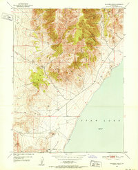
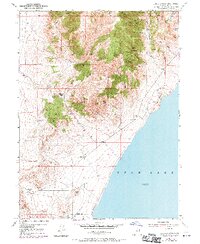
Editions of this 1950 Soldiers Pass Map
3 editions found
Other maps of this area

1885 · Salt Lake
USGS Topo · 1:250,000

1885 · Tooele Valley
USGS Topo · 1:250,000

1915 · Fairfield
USGS Topo · 1:62,500

1917 · Fairfield
USGS Topo · 1:62,500

1947 · Fivemile Pass
USGS Topo · 1:62,500

1947 · Allens Ranch
USGS Topo · 1:24,000

1947 · Goshen Pass
USGS Topo · 1:24,000

1949 · Allens Ranch
USGS Topo · 1:24,000

1949 · Goshen Pass
USGS Topo · 1:24,000

1950 · West Mountain
USGS Topo · 1:24,000