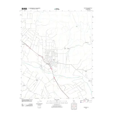
2012 Map of Soledad
USGS Topo · Published 2012About this map
Agricultural and viticultural development centers on Soledad along the fertile valley of the Salinas River. This landscape is defined by its transit corridors and industry, where Us 101 serves as the primary artery connecting the main town with satellite settlements like Camphora and Harlem. The area's identity is clearly linked to its production, visible through prominent landmarks like the Paul Masson Vineyards and Smith and Hook Winery situated near the foot of the western hills. To the south, the confluence of the river and Arroyo Seco shapes the layout of rural roads and the community of Fort Romie. The map also traces the transition into the higher terrain of the Gabilan Range to the east, marked by Stonewall Creek and deep cuts like Lopez Canyon and Bryant Canyon, providing a detailed view of the interaction between the valley floor's irrigation-dependent farms and the surrounding dry canyons.
Find a feature on this map
42 named features on this map. Tap any name to fly to it.
Don’t see what you’re looking for? This feature index may not catch every label — zoom into the map to look around manually.
Map Details
Editions of this 2012 Soledad Map
This is the sole edition of this map. No revisions or reprints were ever made.
Other maps of this area

1910 · Gonzales
USGS Topo · 1:31,680

1910 · Soledad
USGS Topo · 1:31,680

1912 · Metz
USGS Topo · 1:31,680

1915 · Soledad
USGS Topo · 1:62,500

1919 · San Benito
USGS Topo · 1:62,500

1921 · Gonzales
USGS Topo · 1:62,500

1921 · Metz
USGS Topo · 1:62,500

1931 · San Benito
USGS Topo · 1:62,500

1940 · Metz
USGS Topo · 1:62,500

1940 · Soledad
USGS Topo · 1:62,500