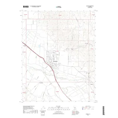
2018 Map of Soledad
USGS Topo · Published 2018About this map
The Soledad city center and the fertile agricultural corridor of the Salinas Valley dominate this 2018 survey. The landscape is defined by the course of the Salinas River as it winds through the valley floor, bordered by the foothills of the Gabilan Range to the east. Modern residential street grids like Gabilan Dr and Entrada Dr reveal the contemporary growth of the city, while the nearby Soledad Cem and the settlement of Fort Romie to the southwest speak to the region's long-standing community foundations. Diverse terrain features such as Bryant Canyon and Shirttail Gulch carve into the rising elevation on the eastern edge of the quadrangle. Transport and irrigation patterns are clearly visible, with Arroyo Seco meeting the river and rural reaches like Harlem and Camphora following the path of the valley's primary transit lines.
Find a feature on this map
66 named features on this map. Tap any name to fly to it.
Don’t see what you’re looking for? This feature index may not catch every label — zoom into the map to look around manually.
Map Details
Editions of this 2018 Soledad Map
This is the sole edition of this map. No revisions or reprints were ever made.
Other maps of this area

1910 · Gonzales
USGS Topo · 1:31,680

1910 · Soledad
USGS Topo · 1:31,680

1912 · Metz
USGS Topo · 1:31,680

1915 · Soledad
USGS Topo · 1:62,500

1919 · San Benito
USGS Topo · 1:62,500

1921 · Gonzales
USGS Topo · 1:62,500

1921 · Metz
USGS Topo · 1:62,500

1931 · San Benito
USGS Topo · 1:62,500

1940 · Metz
USGS Topo · 1:62,500

1940 · Soledad
USGS Topo · 1:62,500