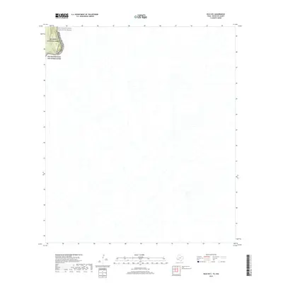
2019 Map of Solis OE S
USGS Topo · Published 2019About this map
Big Bend National Park dominates the northwest corner of this remote borderland survey, where the international boundary between the United States and Mexico follows the winding course of the river. The deep incision of Mariscal Canyon marks a dramatic geological transition as the Rio Grande cuts through the desert floor. This area is further protected as the Rio Grande Wild and Scenic River, a designation that reflects the preserved state of the waterway and its surrounding environment. The terrain is characterized by a dense network of intermittent drainage channels that feed into the river from the high desert of Brewster County and Coahuila. This survey captures a landscape defined almost entirely by its natural hydrology and international borders, with no roads or settlements visible in the immediate vicinity.
Find a feature on this map
5 named features on this map. Tap any name to fly to it.
Don’t see what you’re looking for? This feature index may not catch every label — zoom into the map to look around manually.
Map Details
Editions of this 2019 Solis OE S Map
This is the sole edition of this map. No revisions or reprints were ever made.
Other maps of this area

1903 · Chisos Mountains
USGS Topo · 1:125,000

1905 · Chisos Mountains
USGS Topo · 1:125,000

1959 · Emory Peak
USGS Topo · 1:250,000

1965 · Emory Peak
USGS Topo · 1:250,000
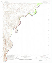
1970 · Solis
USGS Topo · 1:24,000
1984 · Boquillas
USGS Topo · 1:100,000

1985 · Chisos Mountains
USGS Topo · 1:100,000
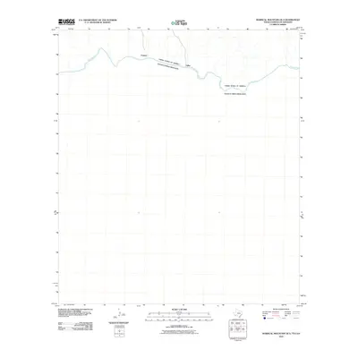
2010 · Mariscal Mountain OE S
USGS Topo · 1:24,000
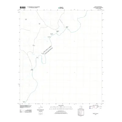
2010 · Solis
USGS Topo · 1:24,000
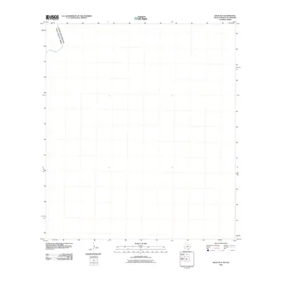
2010 · Solis OE S
USGS Topo · 1:24,000