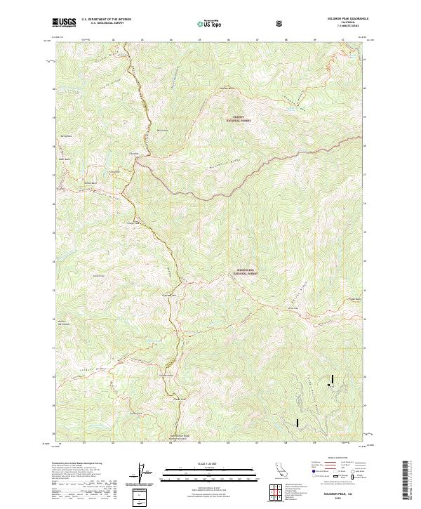
2022 Map of Solomon Peak
USGS Topo · Published 2022About this map
Solomon Peak rises as a central landmark within this high-altitude wilderness, where the boundary between the Trinity National Forest and Mendocino National Forest is defined by the county line between Trinity and Tehama. The landscape is characterized by a dense network of ridgelines and summits, including Wrights Ridge, Harvey Ridge, and Sugarloaf Mtn. The transport pattern is exclusively comprised of forest trails such as the Summit Trl and Ides Cove Loop Trl, which connect remote points like Devils Hole and Frying Pan. High-elevation water sources are vital features here, marked by Minnie Lake, Kingsley Lake, and the headwaters of Thomes Cr. These trails and named basins, such as Willow Basin and Alder Basin, suggest a territory utilized for seasonal grazing, forestry management, and backcountry recreation rather than permanent settlement.
Find a feature on this map
59 named features on this map. Tap any name to fly to it.
Don’t see what you’re looking for? This feature index may not catch every label — zoom into the map to look around manually.
Map Details
Editions of this 2022 Solomon Peak Map
This is the sole edition of this map. No revisions or reprints were ever made.
Other maps of this area

1890 · Red Bluff
USGS Topo · 1:250,000

1894 · Red Bluff
USGS Topo · 1:250,000

1926 · Covelo
USGS Topo · 1:62,500

1931 · Hoaglin
USGS Topo · 1:96,000

1935 · Hoaglin
USGS Topo · 1:125,000

1952 · Covelo
USGS Topo · 1:62,500

1952 · Anthony Peak
USGS Topo · 1:62,500

1953 · Blackrock Mtn
USGS Topo · 1:62,500

1954 · Blackrock Mtn
USGS Topo · 1:62,500

1954 · Yolla Bolly
USGS Topo · 1:62,500