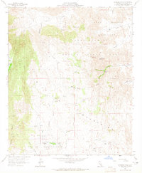
1959 Map of Sombrero Peak
USGS Topo · Published 1965About this map
McCain Ranch and the small settlement of Canebrake anchor this desert landscape at the foot of the Tierra Blanca Mountains. The area is defined by its arid terrain and the presence of critical water sources, such as Sombrero Peak Palm Grove and Bow Willow Palms, which provided refuge in the eastern San Diego County desert. The map reveals early infrastructure for navigation and industry, including an Airway Beacon and VABM 4138 Jordan, alongside mining evidence like a Prospect and Tunnel near Simmons Canyon. The transition from the high desert peaks to the valley floors is marked by a network of primitive transportation, from the Pepperwood Trail to the rugged Canebrake Road, illustrating how early residents and travelers navigated the steep Tecate Divide.
Find a feature on this map
38 named features on this map. Tap any name to fly to it.
Don’t see what you’re looking for? This feature index may not catch every label — zoom into the map to look around manually.
Map Details
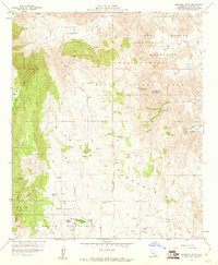
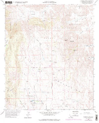
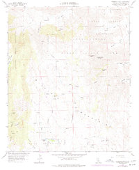
Editions of this 1959 Sombrero Peak Map
4 editions found
Other maps of this area

1931 · Carrizo
USGS Topo · 1:125,000

1939 · Campo
USGS Topo · 1:62,500

1939 · Jacumba
USGS Topo · 1:62,500

1942 · Campo
USGS Topo · 1:62,500

1942 · Carrizo Mtn
USGS Topo · 1:62,500

1942 · Jacumba
USGS Topo · 1:62,500

1942 · Cuyapaipe
USGS Topo · 1:62,500

1950 · San Diego
USGS Topo · 1:250,000

1954 · San Diego
USGS Topo · 1:250,000

1955 · San Diego
USGS Topo · 1:250,000