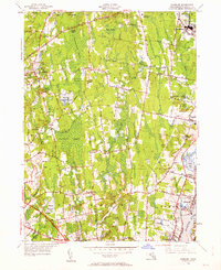
1948 Map of Somerset
USGS Topo · Published 1962About this map
Hornbine Ch and a network of early family cemeteries define the rural character of this Bristol County landscape, where the towns of Rehoboth, Dighton, Swansea, and Somerset converge. The terrain is characterized by a significant watery footprint, featuring the extensive Manwhague Swamp and Maple Swamp, alongside the Warren Upper Reservoir and Warren Reservoir. These wetlands dictated early settlement patterns, forcing development onto higher ground such as Great Meadow Hill and Mount Terrydiddle.
Find a feature on this map
57 named features on this map. Tap any name to fly to it.
Don’t see what you’re looking for? This feature index may not catch every label — zoom into the map to look around manually.
Map Details
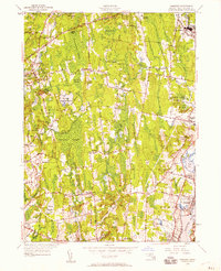
Editions of this 1948 Somerset Map
2 editions found
Other maps of this area

1885 · Taunton
USGS Topo · 1:62,500

1887 · Providence
USGS Topo · 1:62,500

1888 · Fall River
USGS Topo · 1:62,500

1888 · Taunton
USGS Topo · 1:62,500

1889 · Providence
USGS Topo · 1:62,500

1890 · Narragansett Bay
USGS Topo · 1:62,500

1892 · Narragansett Bay
USGS Topo · 1:62,500

1893 · Taunton
USGS Topo · 1:62,500

1893 · Fall River
USGS Topo · 1:62,500

1894 · Providence
USGS Topo · 1:62,500