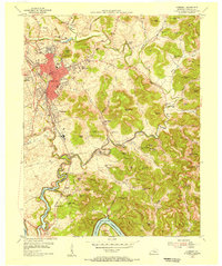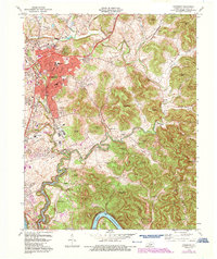
2022 Map of Somerset
USGS Topo · Published 2022About this map
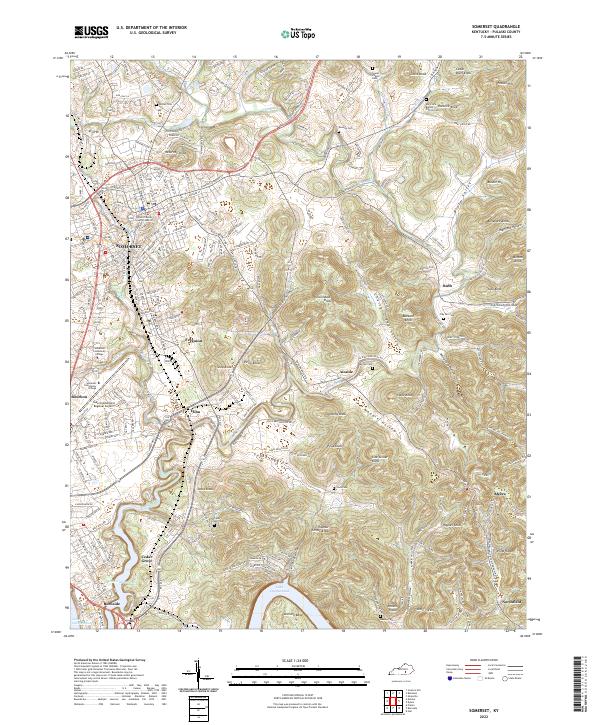
The city of Somerset serves as the focal point for this Pulaski County landscape, where urban development meets the deep, branching fingers of Lake Cumberland. As the county seat, it contains the Pulaski County Court of Justice and Somerset Community College, while the Lake Cumberland Regional Airport sits on the western edge of town near Bourbon. The terrain to the east is defined by a dense network of high points and ridges, including the curiously named Lick Skillet Knob, Thunder Struck Knob, and Buzzard Knob.
Find a feature on this map
79 named features on this map. Tap any name to fly to it.
Don’t see what you’re looking for? This feature index may not catch every label — zoom into the map to look around manually.
Map Details
Editions of this 2022 Somerset Map
This is the sole edition of this map. No revisions or reprints were ever made.
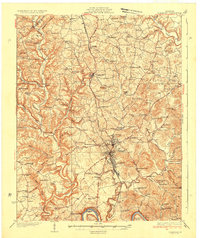
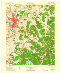
Historical Maps of Meece Through Time
7 maps found