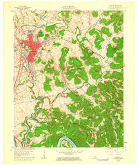
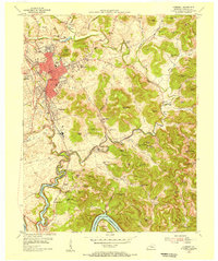
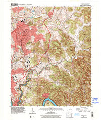
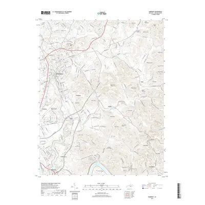
1961 Map of Somerset
USGS Topo · Published 1962About this map
The growing city of Somerset serves as the focal point of this early 1960s survey, showing its expansion alongside East Somerset and West Somerset. The Southern railroad line runs north-to-south through the heart of the area, anchoring the industrial and transit corridor between Ferguson and Elihu. A notable feature of the landscape is the presence of Lake Cumberland and the Cumberland River at the southern edge, illustrating the impact of damming projects on the regional topography and the creation of Antioch Bend.
Find a feature on this map
80 named features on this map. Tap any name to fly to it.
Don’t see what you’re looking for? This feature index may not catch every label — zoom into the map to look around manually.
Map Details
Editions of this 1961 Somerset Map
This is the sole edition of this map. No revisions or reprints were ever made.
Historical Maps of Somerset Through Time
11 maps found
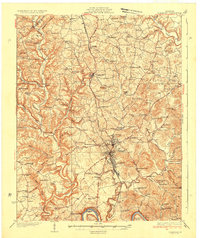
1935 Somerset
Pulaski County, KY
1954 Somerset
Pulaski County, KY
1961 Somerset
Pulaski County, KY
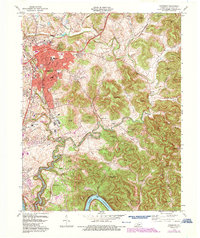
1973 Somerset
Pulaski County, KY

1982 Somerset
Pulaski County, KY
1997 Somerset
Pulaski County, KY
2010 Somerset
Pulaski County, KY
2013 Somerset
Pulaski County, KY
2016 Somerset
Pulaski County, KY
2019 Somerset
Pulaski County, KY
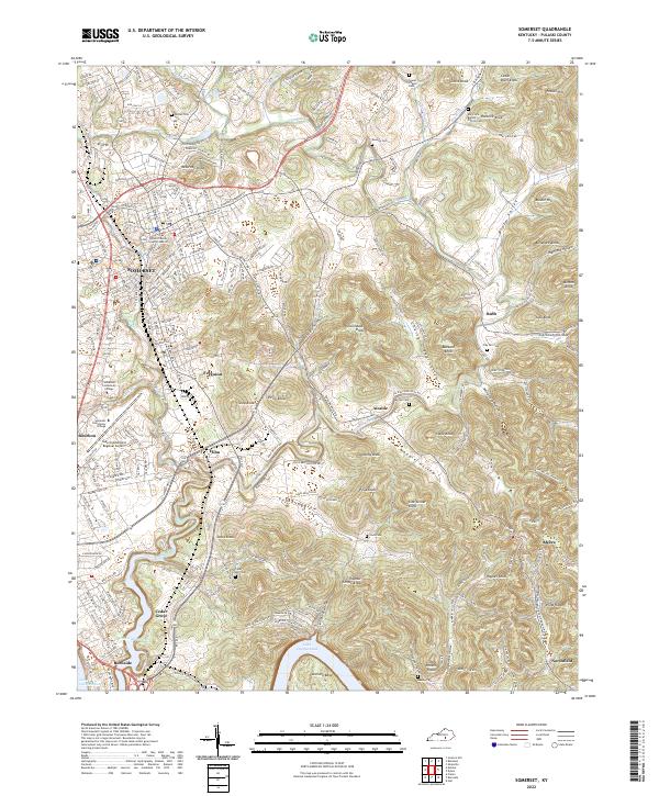
2022 Somerset
Pulaski County, KY