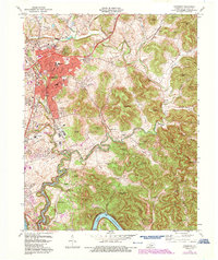
1973 Map of Somerset
USGS Topo · Published 1987About this map
Somerset serves as the bustling hub of Pulaski County in the 1970s, its urban footprint expanding southward through Ferguson and toward the banks of Lake Cumberland. The Southern railroad line acts as a central spine for the region's development, passing through Elihu and connecting the town to the varied topography of the Highland Rim. This era of growth is marked by the presence of institutions like the University of Kentucky Community College and St. Mildreds School, alongside local industrial and aviation markers such as the Somerset-Pulaski County J. T. Wilson Field.
Find a feature on this map
100 named features on this map. Tap any name to fly to it.
Don’t see what you’re looking for? This feature index may not catch every label — zoom into the map to look around manually.
Map Details
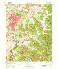
Editions of this 1973 Somerset Map
2 editions found
Other maps of this area

1890 · Williamsburg
USGS Topo · 1:125,000

1893 · London
USGS Topo · 1:125,000

1894 · Williamsburg
USGS Topo · 1:125,000

1897 · London
USGS Topo · 1:125,000

1932 · Burnside
USGS Topo · 1:62,500

1935 · Somerset
USGS Topo · 1:62,500

1952 · Hail
USGS Topo · 1:24,000

1952 · Dykes
USGS Topo · 1:24,000

1952 · Shopville
USGS Topo · 1:24,000

1953 · Frazer
USGS Topo · 1:24,000