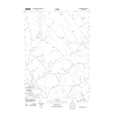
2012 Map of Somersworth
USGS Topo · Published 2012About this map
The industrial and residential heart of Somersworth and Berwick dominates the southwestern corner of this survey, where the river serves as a border between New Hampshire and Maine. The map details a densely settled urban grid near the Foundry district, contrasted by the winding waters of Ferguson Brook and Worster Brook. Moving north, the landscape opens into a series of ridges and hills, including Abbott Hill and Estes Hill, punctuated by the Perrotti Skyranch Airfield Airport. Local history is preserved in the location of the Evergreen Cem and Pine Hill Cem, while the hydrological network is marked by several impoundments such as Mathews Millpond and the Great Works River Reservoir. The transition from the core settlements to the outlying rural reaches like Five Corners reflects the region's enduring mix of mill-town heritage and upland New England geography.
Find a feature on this map
145 named features on this map. Tap any name to fly to it.
Don’t see what you’re looking for? This feature index may not catch every label — zoom into the map to look around manually.
Map Details
Editions of this 2012 Somersworth Map
This is the sole edition of this map. No revisions or reprints were ever made.
Other maps of this area

1891 · Berwick
USGS Topo · 1:62,500

1891 · Kennebunk
USGS Topo · 1:62,500

1893 · Kennebunk
USGS Topo · 1:62,500

1893 · Dover
USGS Topo · 1:62,500

1893 · Berwick
USGS Topo · 1:62,500

1893 · York
USGS Topo · 1:62,500

1898 · Kennebunk
USGS Topo · 1:62,500

1916 · Dover
USGS Topo · 1:62,500

1918 · Dover
USGS Topo · 1:62,500

1920 · York
USGS Topo · 1:62,500