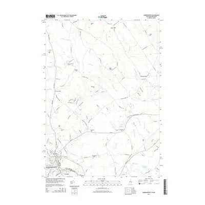
2015 Map of Somersworth
USGS Topo · Published 2015About this map
Somersworth, New Hampshire, and the neighboring Maine town of Berwick are divided by the Salmon Falls River in this 2015 study of the border region. The landscape is a mix of industrial history and rural topography, featuring the settlement of Foundry and several mills and reservoirs that shaped the local economy. Water power was clearly essential to the area's development, evidenced by features like Cider Mill Pond, Mathews Millpond, and the Great Works River Reservoir.
Find a feature on this map
139 named features on this map. Tap any name to fly to it.
Don’t see what you’re looking for? This feature index may not catch every label — zoom into the map to look around manually.
Map Details
Editions of this 2015 Somersworth Map
This is the sole edition of this map. No revisions or reprints were ever made.
Other maps of this area

1891 · Berwick
USGS Topo · 1:62,500

1891 · Kennebunk
USGS Topo · 1:62,500

1893 · Kennebunk
USGS Topo · 1:62,500

1893 · Dover
USGS Topo · 1:62,500

1893 · Berwick
USGS Topo · 1:62,500

1893 · York
USGS Topo · 1:62,500

1898 · Kennebunk
USGS Topo · 1:62,500

1916 · Dover
USGS Topo · 1:62,500

1918 · Dover
USGS Topo · 1:62,500

1920 · York
USGS Topo · 1:62,500