2024 Map of Somersworth
USGS Topo · Published 2024About this map
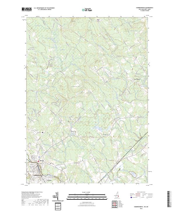
Somersworth and Berwick straddle the state boundary where New Hampshire meets Maine, defined by the winding Salmon Falls River. This 2024 landscape reveals a dense network of water features and wetlands, from the expansive Long Swamp and The Marshes in the north to localized water bodies like Hall Ponds and the Mathews Millpond further south. The area's industrial and agricultural history is reflected in names like Foundry and Cider Mill Pond, while local aviation is represented by the Perrotti Skyranch Airfield.
Find a feature on this map
142 named features on this map. Tap any name to fly to it.
Don’t see what you’re looking for? This feature index may not catch every label — zoom into the map to look around manually.
Map Details
Editions of this 2024 Somersworth Map
This is the sole edition of this map. No revisions or reprints were ever made.
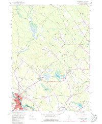
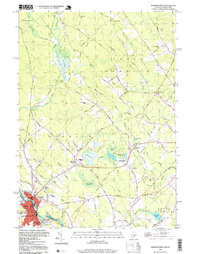
Historical Maps of South Berwick Through Time
4 maps found