
1948 Map of Sonoita
USGS Topo · Published 1953About this map
The ruins of Old Fort Crittenden and the small settlement of Sonoita anchor this late 1940s landscape, where cattle ranching and transportation intersect in the high desert of Southern Arizona. The map details a geography defined by numerous family-run operations, including the Hacienda Los Encinos Ranch, Crown C Ranch, and Douglas Ranch, scattered among the deep drainages of Gardner Canyon and Adobe Canyon. These ranches rely on scattered windmills and water sources like Monkey Spring to sustain livestock in the arid terrain.
Find a feature on this map
43 named features on this map. Tap any name to fly to it.
Don’t see what you’re looking for? This feature index may not catch every label — zoom into the map to look around manually.
Map Details
Editions of this 1948 Sonoita Map
This is the sole edition of this map. No revisions or reprints were ever made.
Other maps of this area

1904 · Patagonia
USGS Topo · 1:125,000

1905 · Patagonia
USGS Topo · 1:125,000

1922 · Agus Caliente
USGS Topo · 1:62,500

1926 · Helvetia
USGS Topo · 1:62,500

1932 · Elgin
USGS Topo · 1:62,500

1940 · Elgin
USGS Topo · 1:62,500

1947 · Elgin
USGS Topo · 1:62,500

1948 · Elgin
USGS Topo · 1:24,000
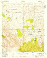
1948 · O'Donnell Canyon
USGS Topo · 1:24,000
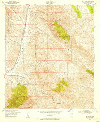
1948 · Mt. Hughes
USGS Topo · 1:24,000