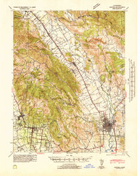
1942 Map of Sonoma
USGS Topo · Published 1942About this map
Vineyard-rich valleys and prominent ridges define the landscape of the Napa and Sonoma regions during the early years of World War II. The Napa River serves as a central artery for the eastern valley, flanked by the Silverado Trail and agricultural centers like Rutherford and Oakville. The map illustrates a developed transportation network where the Southern Pacific and the San Francisco and Northwestern Electric railroads facilitated the movement of goods and people between towns such as St. Helena and Sonoma.
Find a feature on this map
52 named features on this map. Tap any name to fly to it.
Don’t see what you’re looking for? This feature index may not catch every label — zoom into the map to look around manually.
Map Details
Editions of this 1942 Sonoma Map
This is the sole edition of this map. No revisions or reprints were ever made.
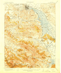
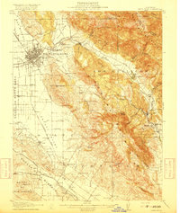
Other maps of this area

1896 · Carquinez Strait
USGS Topo · 1:62,500

1898 · Karquines
USGS Topo · 1:62,500

1901 · Karquines
USGS Topo · 1:62,500

1902 · Napa
USGS Topo · 1:125,000
1914 · Petaluma
USGS Topo · 1:62,500

1916 · Mare Island
USGS Topo · 1:62,500
1916 · Santa Rosa
USGS Topo · 1:62,500

1921 · Mt. Vaca
USGS Topo · 1:62,500

1924 · Capay
USGS Topo · 1:62,500

1927 · Calistoga
USGS Topo · 1:62,500