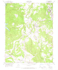
1948 Map of Sonora
USGS Topo · Published 1966About this map
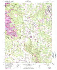
Mark Twain Cabin stands near Tuttletown on the slopes of Jackass Hill, anchoring this mid-century topographic record of the California Mother Lode. The landscape is defined by the massive basaltic crest of Table Mountain, which winds through the terrain alongside the tracks of the Sierra RR. This survey captures the transition from historic mining operations to a modernizing Gold Country infrastructure, featuring prominent sites like the Harvard Mine and Golden Rule Mine alongside the early stages of Melones Res.
Find a feature on this map
39 named features on this map. Tap any name to fly to it.
Don’t see what you’re looking for? This feature index may not catch every label — zoom into the map to look around manually.
Map Details
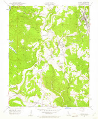
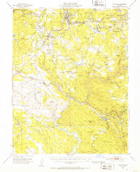
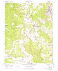
Editions of this 1948 Sonora Map
5 editions found
Other maps of this area

1889 · Jackson
USGS Topo · 1:125,000

1891 · Big Trees
USGS Topo · 1:125,000

1892 · Jackson
USGS Topo · 1:125,000

1893 · Sonora
USGS Topo · 1:125,000

1894 · Big Trees
USGS Topo · 1:125,000

1896 · Sonora
USGS Topo · 1:125,000

1897 · Jackson
USGS Topo · 1:125,000

1897 · Sonora
USGS Topo · 1:125,000

1897 · Big Trees
USGS Topo · 1:125,000

1898 · Sonora
USGS Topo · 1:125,000