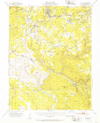
1948 Map of Sonora
USGS Topo · Published 1960About this map
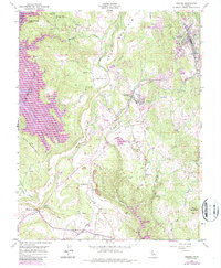
The Sierra Nevada foothills south of Sonora reveal a landscape defined by the legacies of the California Gold Rush and the infrastructure of the early 20th century. During the late 1940s, the Sierra Railroad and the massive Hetch Hetchy Aqueduct cross the terrain, illustrating the region's role in the state's water and transportation networks. Historic mining activity is documented through numerous named claims and shafts, including the Eagle-Shawmut Mine, Harvard Mine, and the Golden Rule Mine. Cultural landmarks like the Mark Twain Cabin near Jackass Hill and the settlement at Chinese Camp speak to the diverse social history of Tuolumne County. Small communities such as Soulsbyville, Jamestown, and Standard appear alongside rural family landmarks like the McNutt Ranch and Barron Ranch, providing a window into local genealogy and land use before mid-century modernization.
Find a feature on this map
115 named features on this map. Tap any name to fly to it.
Don’t see what you’re looking for? This feature index may not catch every label — zoom into the map to look around manually.
Map Details
Editions of this 1948 Sonora Map
5 editions found
Other maps of this area

1889 · Jackson
USGS Topo · 1:125,000

1891 · Big Trees
USGS Topo · 1:125,000

1892 · Jackson
USGS Topo · 1:125,000

1893 · Sonora
USGS Topo · 1:125,000

1894 · Big Trees
USGS Topo · 1:125,000

1896 · Sonora
USGS Topo · 1:125,000

1897 · Jackson
USGS Topo · 1:125,000

1897 · Sonora
USGS Topo · 1:125,000

1897 · Big Trees
USGS Topo · 1:125,000

1898 · Sonora
USGS Topo · 1:125,000