
1955 Map of Sonsala Butte 1 SE
USGS Topo · Published 1958About this map
Tsaile Peak stands as a prominent landmark within the high-elevation terrain of the Lukachukai Mountains in the mid-1950s. Located within the Navajo Indian Reservation, this survey captures the intersection of the Arizona New Mexico state line and the Apache Co San Juan Co boundary. The landscape is defined by its complex drainage systems, including Tsaile Creek and Wheatfields Creek, which carve through the steep topography.
Find a feature on this map
14 named features on this map. Tap any name to fly to it.
Don’t see what you’re looking for? This feature index may not catch every label — zoom into the map to look around manually.
Map Details
Editions of this 1955 Sonsala Butte 1 SE Map
This is the sole edition of this map. No revisions or reprints were ever made.
Other maps of this area

1889 · Chaco
USGS Topo · 1:250,000

1892 · Chaco
USGS Topo · 1:250,000

1892 · Canyon De Chelly
USGS Topo · 1:250,000

1953 · Sanostee
USGS Topo · 1:62,500

1954 · Shiprock
USGS Topo · 1:250,000
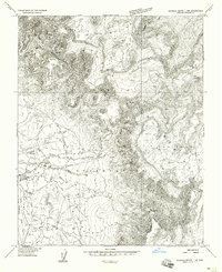
1955 · Sonsala Butte 1 NW
USGS Topo · 1:24,000

1955 · Sonsala Butte 4 NW
USGS Topo · 1:24,000
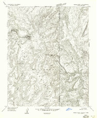
1955 · Sonsala Butte 1 NE
USGS Topo · 1:24,000

1955 · Sonsala Butte 1 SW
USGS Topo · 1:24,000
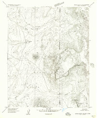
1955 · Sonsala Butte 4 NE
USGS Topo · 1:24,000