
1955 Map of Sonsala Butte 2 NW
USGS Topo · Published 1958About this map
Navajo Indian Reservation lands dominate this mid-century topographic survey, centered on the high elevations of the Defiance Plateau. The landscape is defined by its dramatic drainage patterns, where deep incisions like Bihilinie Canyon and Yellowstone Canyon cut through the arid terrain. Water management is a primary feature of the area's geography, visible in the numerous dams and the Round Rock Reservoir situated at the foot of Gray Ridge.
Find a feature on this map
17 named features on this map. Tap any name to fly to it.
Don’t see what you’re looking for? This feature index may not catch every label — zoom into the map to look around manually.
Map Details
Editions of this 1955 Sonsala Butte 2 NW Map
This is the sole edition of this map. No revisions or reprints were ever made.
Other maps of this area

1892 · Canyon De Chelly
USGS Topo · 1:250,000

1953 · Los Gigantes SE
USGS Topo · 1:24,000

1953 · Los Gigantes SW
USGS Topo · 1:24,000

1953 · Los Gigantes Buttes
USGS Topo · 1:62,500

1954 · Shiprock
USGS Topo · 1:250,000

1955 · Sonsala Butte 2 SW
USGS Topo · 1:24,000

1955 · Sonsala Butte 2 SE
USGS Topo · 1:24,000
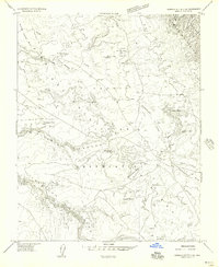
1955 · Sonsala Butte 2 NE
USGS Topo · 1:24,000
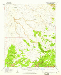
1955 · Yellowstone Canyon
USGS Topo · 1:62,500

1958 · Shiprock
USGS Topo · 1:250,000