
1955 Map of Sonsala Butte 3 SE
USGS Topo · Published 1958About this map
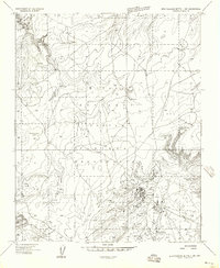
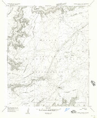
Canyon De Chelly and the high Defiance Plateau dominate this 1950s survey of the Navajo Indian Reservation in Apache County. The map details a complex system of drainage and narrow gorges, including Bat Canyon, Horse Track Canyon, and Small Twin Canyon, illustrating the verticality of the Navajo National Monument. Notable geological landmarks like Face Rock and the iconic Spider Rock are precisely located, alongside human markers such as the Spider Rock Overlook.
Find a feature on this map
23 named features on this map. Tap any name to fly to it.
Don’t see what you’re looking for? This feature index may not catch every label — zoom into the map to look around manually.
Map Details
Editions of this 1955 Sonsala Butte 3 SE Map
This is the sole edition of this map. No revisions or reprints were ever made.
Other maps of this area

1886 · Fort Defiance
USGS Topo · 1:250,000

1892 · Fort Defiance
USGS Topo · 1:250,000

1892 · Canyon De Chelly
USGS Topo · 1:250,000

1954 · Shiprock
USGS Topo · 1:250,000

1954 · Gallup
USGS Topo · 1:250,000

1955 · Zith-Tusayan Butte 2 NW
USGS Topo · 1:24,000

1955 · Zith-Tusayan Butte 2 NE
USGS Topo · 1:24,000

1955 · Sonsala Butte 4 NW
USGS Topo · 1:24,000
1955 · Zith-Tusayan Butte 1 NW
USGS Topo · 1:24,000
1955 · Sonsala Butte 3 NE
USGS Topo · 1:24,000