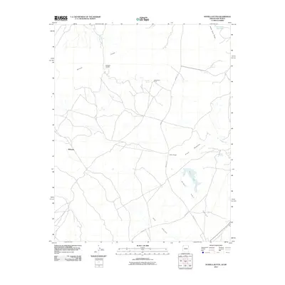
2010 Map of Sonsela Buttes
USGS Topo · Published 2010About this map
Sonsela Buttes and the high terrain of Sonsela Saddle dominate this section of the Arizona-New Mexico borderlands within the Navajo Nation. This 2010 survey records a landscape defined by seasonal water sources and dispersed ranching activity, centered around the Chee Dodge Ranch and the small settlement at Milkwater. The map illustrates a transition from the elevated peaks of Black Rock Ridge down into the expansive Red Salt Valley to the southeast.
Find a feature on this map
17 named features on this map. Tap any name to fly to it.
Don’t see what you’re looking for? This feature index may not catch every label — zoom into the map to look around manually.
Map Details
Editions of this 2010 Sonsela Buttes Map
This is the sole edition of this map. No revisions or reprints were ever made.
Other maps of this area

1886 · Wingate
USGS Topo · 1:250,000

1886 · Fort Defiance
USGS Topo · 1:250,000

1889 · Chaco
USGS Topo · 1:250,000

1892 · Fort Defiance
USGS Topo · 1:250,000

1892 · Wingate
USGS Topo · 1:250,000

1892 · Chaco
USGS Topo · 1:250,000

1892 · Canyon De Chelly
USGS Topo · 1:250,000

1954 · Shiprock
USGS Topo · 1:250,000

1954 · Gallup
USGS Topo · 1:250,000

1955 · Sonsala Butte 4 SE
USGS Topo · 1:24,000
Featured Places
- Fort Defiance Agency
- Milkwater, Fort Defiance Agency
- San Juan County, NM
- McKinley County, NM
- Apache County, AZ