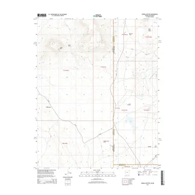
2014 Map of Sonsela Buttes
USGS Topo · Published 2014About this map
Sonsela Buttes and the high terrain of Sonsela Saddle dominate the western landscape of this high-desert region on the Arizona and New Mexico border. The map illustrates a network of Bureau of Indian Affairs routes, including Bia-12 and Bia-9290, which connect small residential pockets and grazing lands. Along these corridors, points of settlement such as Milkwater and Green Meadows emerge near intermittent water sources.
Find a feature on this map
38 named features on this map. Tap any name to fly to it.
Don’t see what you’re looking for? This feature index may not catch every label — zoom into the map to look around manually.
Map Details
Editions of this 2014 Sonsela Buttes Map
This is the sole edition of this map. No revisions or reprints were ever made.
Other maps of this area

1886 · Wingate
USGS Topo · 1:250,000

1886 · Fort Defiance
USGS Topo · 1:250,000

1889 · Chaco
USGS Topo · 1:250,000

1892 · Fort Defiance
USGS Topo · 1:250,000

1892 · Wingate
USGS Topo · 1:250,000

1892 · Chaco
USGS Topo · 1:250,000

1892 · Canyon De Chelly
USGS Topo · 1:250,000

1954 · Shiprock
USGS Topo · 1:250,000

1954 · Gallup
USGS Topo · 1:250,000

1955 · Sonsala Butte 4 SE
USGS Topo · 1:24,000
Featured Places
- Fort Defiance Agency
- Milkwater, Fort Defiance Agency
- San Juan County, NM
- McKinley County, NM
- Apache County, AZ