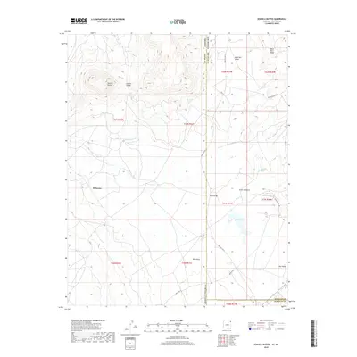
2018 Map of Sonsela Buttes
USGS Topo · Published 2018About this map
Sonsela Buttes and the high terrain of Black Rock Ridge define this landscape along the border of Arizona and New Mexico. This modern survey documents the high-desert settlements and water resources of the Navajo Nation, from the residential clusters at Milkwater and White Bridge to the remote ranching community of Red Valley. The map reveals a complex network of service routes including Indian Rte 72 and Indian Svc Rte 12, which connect these small outposts across the high plains.
Find a feature on this map
34 named features on this map. Tap any name to fly to it.
Don’t see what you’re looking for? This feature index may not catch every label — zoom into the map to look around manually.
Map Details
Editions of this 2018 Sonsela Buttes Map
This is the sole edition of this map. No revisions or reprints were ever made.
Other maps of this area

1886 · Wingate
USGS Topo · 1:250,000

1886 · Fort Defiance
USGS Topo · 1:250,000

1889 · Chaco
USGS Topo · 1:250,000

1892 · Fort Defiance
USGS Topo · 1:250,000

1892 · Wingate
USGS Topo · 1:250,000

1892 · Chaco
USGS Topo · 1:250,000

1892 · Canyon De Chelly
USGS Topo · 1:250,000

1954 · Shiprock
USGS Topo · 1:250,000

1954 · Gallup
USGS Topo · 1:250,000

1955 · Sonsala Butte 4 SE
USGS Topo · 1:24,000
Featured Places
- Fort Defiance Agency
- Milkwater, Fort Defiance Agency
- San Juan County, NM
- McKinley County, NM
- Apache County, AZ