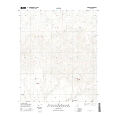
2014 Map of Sontag Creek
USGS Topo · Published 2014About this map
Dads Lookout stands as a primary high point in this Gila County landscape, overseeing a terrain defined by the complex drainage systems of the Blue River and Sontag Creek. The geography is shaped by the presence of numerous water sources critical for ranching or land management in this environment, including Gimme Tank, Walker Park Tank, and Cattle Guard Tank. These man-made features alongside natural flows like Sawmill Cr and Pineasco Cr suggest a landscape geared toward livestock and resource management.
Find a feature on this map
26 named features on this map. Tap any name to fly to it.
Don’t see what you’re looking for? This feature index may not catch every label — zoom into the map to look around manually.
Map Details
Editions of this 2014 Sontag Creek Map
This is the sole edition of this map. No revisions or reprints were ever made.
Other maps of this area

1954 · Mesa
USGS Topo · 1:250,000

1957 · Mesa
USGS Topo · 1:250,000

1958 · Mesa
USGS Topo · 1:250,000

1960 · Mesa
USGS Topo · 1:250,000

1964 · Mesa
USGS Topo · 1:250,000

1965 · Sontag Mesa
USGS Topo · 1:24,000

1966 · Brushy Canyon
USGS Topo · 1:24,000

1966 · Natural Corral
USGS Topo · 1:24,000
1966 · Bronco Gulch
USGS Topo · 1:24,000

1966 · Popcorn Canyon
USGS Topo · 1:24,000