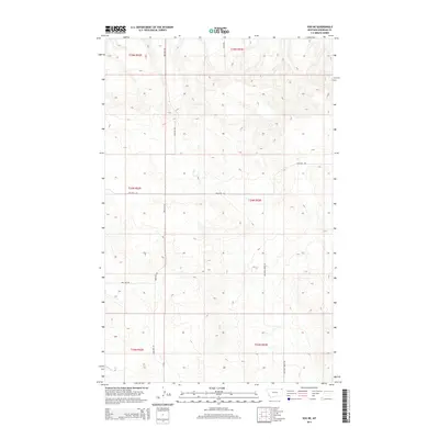
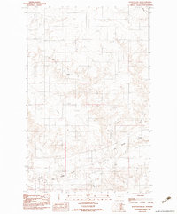
2014 Map of Soo NE
USGS Topo · Published 2014About this map
Wolf Cr winds through the southwestern corner of this northeastern Montana landscape, a region defined by its vast agricultural and grazing tracts. The map is heavily structured by the Public Land Survey System, showing the grid-like intersections of Bolster Rd, Welliver Rd, and Two Tree Rd. These gravel and dirt routes serve as the primary lifelines for the remote farmsteads and ranching operations that dot the Roosevelt County countryside.
Find a feature on this map
12 named features on this map. Tap any name to fly to it.
Don’t see what you’re looking for? This feature index may not catch every label — zoom into the map to look around manually.
Map Details
Editions of this 2014 Soo NE Map
This is the sole edition of this map. No revisions or reprints were ever made.
Other maps of this area

1954 · Wolf Point
USGS Topo · 1:250,000

1958 · Wolf Point
USGS Topo · 1:250,000

1983 · Redstone
USGS Topo · 1:24,000

1983 · Kisler Butte
USGS Topo · 1:24,000
1983 · Flagstaff Hill
USGS Topo · 1:24,000

1983 · Soo NW
USGS Topo · 1:24,000

1983 · Archer
USGS Topo · 1:24,000
1983 · Thornwood Ranch
USGS Topo · 1:24,000
1983 · Soo NE
USGS Topo · 1:24,000
1983 · Plentywood SW
USGS Topo · 1:24,000