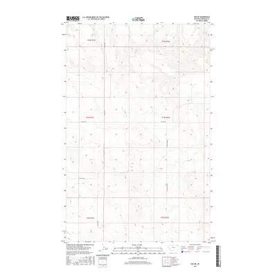
2017 Map of Soo NE
USGS Topo · Published 2017About this map
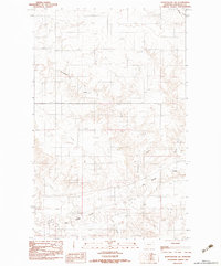
Wolf Cr meanders through the landscape of the Brockton District in eastern Montana, providing a critical water source in this expansive section of Sheridan County. The terrain is defined by a grid of rural routes that facilitate movement between remote sections of the High Plains. Roads such as Bolster Rd and Malcolm Creek Rd intersect the rolling topography, while Welliver Rd and Two Tree Rd provide access to the various townships. This survey illustrates the persistent importance of section-line roads in the management of Montana's agricultural and grazing lands, showing a sparse settlement pattern where infrastructure is primarily focused on supporting the vast open ranges and scattered homesteads of the 21st-century American West.
Find a feature on this map
11 named features on this map. Tap any name to fly to it.
Don’t see what you’re looking for? This feature index may not catch every label — zoom into the map to look around manually.
Map Details
Editions of this 2017 Soo NE Map
This is the sole edition of this map. No revisions or reprints were ever made.
Other maps of this area

1954 · Wolf Point
USGS Topo · 1:250,000

1958 · Wolf Point
USGS Topo · 1:250,000

1983 · Redstone
USGS Topo · 1:24,000

1983 · Kisler Butte
USGS Topo · 1:24,000
1983 · Flagstaff Hill
USGS Topo · 1:24,000

1983 · Soo NW
USGS Topo · 1:24,000

1983 · Archer
USGS Topo · 1:24,000
1983 · Thornwood Ranch
USGS Topo · 1:24,000
1983 · Soo NE
USGS Topo · 1:24,000
1983 · Plentywood SW
USGS Topo · 1:24,000