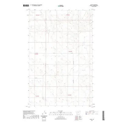
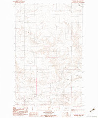
2020 Map of Soo NE
USGS Topo · Published 2020About this map
Thornwood Ranch anchors this sparsely populated expanse of the Brockton District in eastern Montana, where the terrain is defined by the winding course of Wolf Cr and a network of gravel section roads. This 2020 survey provides a look at the land's organization through the Public Land Survey System, illustrating how modern ranching operations navigate the drainage basins of the Missouri River plateau. Local transportation is facilitated by named thoroughfares such as Bolster Rd and Welliver Rd, which carve straight paths through the rolling breaks. The map shows the remote character of Sheridan County, where features like Two Tree Rd and Malcolm Creek Rd serve as vital links for the scattered homesteads and agricultural tracts that characterize the High Plains landscape of the contemporary era.
Find a feature on this map
12 named features on this map. Tap any name to fly to it.
Don’t see what you’re looking for? This feature index may not catch every label — zoom into the map to look around manually.
Map Details
Editions of this 2020 Soo NE Map
This is the sole edition of this map. No revisions or reprints were ever made.
Other maps of this area

1954 · Wolf Point
USGS Topo · 1:250,000

1958 · Wolf Point
USGS Topo · 1:250,000

1983 · Redstone
USGS Topo · 1:24,000

1983 · Kisler Butte
USGS Topo · 1:24,000
1983 · Flagstaff Hill
USGS Topo · 1:24,000

1983 · Soo NW
USGS Topo · 1:24,000

1983 · Archer
USGS Topo · 1:24,000
1983 · Thornwood Ranch
USGS Topo · 1:24,000
1983 · Soo NE
USGS Topo · 1:24,000
1983 · Plentywood SW
USGS Topo · 1:24,000