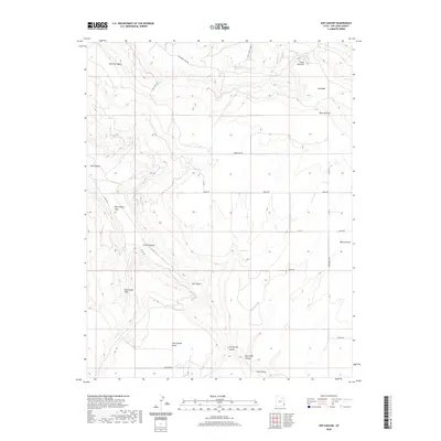
2020 Map of Sop Canyon
USGS Topo · Published 2020About this map
Sop Canyon and the high mesa country of San Juan County define this corner of the Colorado Plateau. The landscape is characterized by a complex network of drainage systems, including East Canyon Wash and Dry Wash, which have carved deep incisions through the terrain. Notable high points like Deerneck Mesa, Three Step Hill, and Iron Canyon Point rise above the canyons, offering clear viewplanes across the arid territory.
Find a feature on this map
28 named features on this map. Tap any name to fly to it.
Don’t see what you’re looking for? This feature index may not catch every label — zoom into the map to look around manually.
Map Details
Editions of this 2020 Sop Canyon Map
This is the sole edition of this map. No revisions or reprints were ever made.
Other maps of this area

1885 · La Sal
USGS Topo · 1:250,000

1886 · Abajo
USGS Topo · 1:250,000

1892 · Abajo
USGS Topo · 1:250,000

1893 · Abajo
USGS Topo · 1:250,000

1954 · Mt Peale 4 NE
USGS Topo · 1:24,000

1954 · Mt Peale 4 NW
USGS Topo · 1:24,000

1954 · Mt Peale 3 NE
USGS Topo · 1:24,000

1954 · Mt Peale 3 SE
USGS Topo · 1:24,000
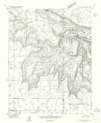
1954 · Mt Peale 4 SE
USGS Topo · 1:24,000

1954 · Mt Peale 4 SW
USGS Topo · 1:24,000