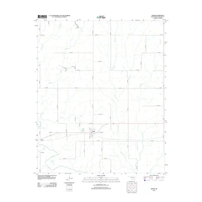
2012 Map of Soper
USGS Topo · Published 2012About this map
Soper serves as the primary hub in this Choctaw County landscape, situated along the major highway and rail corridor that bisects the region. The settlement pattern is defined by a rigid grid of rural roads, including E 2055 Rd and N 4115 Rd, which connect outlying homesteads and the smaller community of Jasper to the west. For local historians, the Sugar Creek Cem and Soper Cem provide important genealogical touchpoints within this agricultural area.
Find a feature on this map
45 named features on this map. Tap any name to fly to it.
Don’t see what you’re looking for? This feature index may not catch every label — zoom into the map to look around manually.
Map Details
Editions of this 2012 Soper Map
This is the sole edition of this map. No revisions or reprints were ever made.
Other maps of this area

1901 · Antlers
USGS Topo · 1:125,000

1903 · Paris
USGS Topo · 1:125,000

1912 · Antlers
USGS Topo · 1:125,000

1925 · Antlers
USGS Topo · 1:125,000

1948 · Grant
USGS Topo · 1:62,500

1948 · Direct
USGS Topo · 1:62,500

1949 · Direct
USGS Topo · 1:62,500

1949 · Grant
USGS Topo · 1:62,500

1950 · Mcalester
USGS Topo · 1:250,000

1953 · Texarkana
USGS Topo · 1:250,000