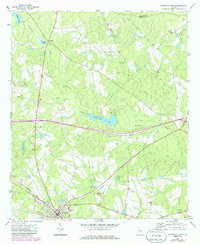
1971 Map of Soperton North
USGS Topo · Published 1988About this map
Pendleton Creek and its many tributaries, including Alligator Creek and Tiger Creek, define this rural stretch of Treutlen County. The landscape is dotted with small country churches such as Johnson Chapel, St Marys Ch, and Oak Chapel, serving the communities surrounding Soperton and Blackville. These centers of local life, often paired with small burial grounds like Ricks Cem, provide a glimpse into the social fabric of the Georgia coastal plain during the early 1970s.
Find a feature on this map
37 named features on this map. Tap any name to fly to it.
Don’t see what you’re looking for? This feature index may not catch every label — zoom into the map to look around manually.
Map Details
Editions of this 1971 Soperton North Map
2 editions found
Other maps of this area

1957 · Macon
USGS Topo · 1:250,000

1958 · Macon
USGS Topo · 1:250,000

1964 · Macon
USGS Topo · 1:250,000

1970 · Oak Park SW
USGS Topo · 1:24,000

1970 · Covena
USGS Topo · 1:24,000

1971 · Norristown
USGS Topo · 1:24,000

1971 · Soperton South
USGS Topo · 1:24,000

1971 · Soperton North
USGS Topo · 1:24,000

1971 · Lothair
USGS Topo · 1:24,000

1971 · Rockledge
USGS Topo · 1:24,000