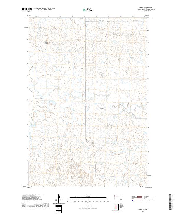
2021 Map of Sorum SE
USGS Topo · Published 2021About this map
Haystack Butte dominates the northwestern horizon of this remote Perkins County landscape, serving as a primary topographic landmark in a region defined by high plains drainage systems. The terrain is articulated by the winding courses of Antelope Cr and Dog Cr, which carve subtle relief into the prairie. This 2021 survey by the U.S. Geological Survey reflects the enduring rural character of the West River country, where the section-line grid remains the primary organizing principle for travel and land management.
Find a feature on this map
12 named features on this map. Tap any name to fly to it.
Don’t see what you’re looking for? This feature index may not catch every label — zoom into the map to look around manually.
Map Details
Editions of this 2021 Sorum SE Map
This is the sole edition of this map. No revisions or reprints were ever made.
Other maps of this area

1951 · Imogene
USGS Topo · 1:24,000

1954 · Lemmon
USGS Topo · 1:250,000

1957 · Lemmon
USGS Topo · 1:250,000

1980 · Zeona
USGS Topo · 1:25,000

1983 · Sorum NE
USGS Topo · 1:24,000
1983 · Sorum
USGS Topo · 1:24,000

1983 · Date
USGS Topo · 1:24,000

1983 · Sorum SE
USGS Topo · 1:24,000

1983 · Daviston
USGS Topo · 1:24,000
1983 · Sorum SW
USGS Topo · 1:24,000