
1965 Map of South Bayard
USGS Topo · Published 1967About this map
Chimney Rock (National Historic Site) dominates the landscape south of the North Platte River, serving as a premier landmark for travelers along the historic Emigrant Trail. This mid-1960s survey captures a Nebraska plains environment defined by its complex irrigation network, including the Chimney Rock Canal, Ninemile Canal, and Alliance and Quincy Canal. These waterways sustain the agricultural land around South Bayard, while the Union Pacific and Chicago Burlington and Quincy railroads facilitate the movement of goods through the valley. Local life is anchored by rural institutions like School No 13 and School No 50, along with the Chimney Rock Cem. To the south, the terrain transitions into the broken bluffs of Bedding Canyon and McManigal Canyon, highlighting the sharp contrast between the fertile river bottom and the high country of Redington.
Find a feature on this map
27 named features on this map. Tap any name to fly to it.
Don’t see what you’re looking for? This feature index may not catch every label — zoom into the map to look around manually.
Map Details
Editions of this 1965 South Bayard Map
This is the sole edition of this map. No revisions or reprints were ever made.
Other maps of this area

1898 · Camp Clarke
USGS Topo · 1:125,000

1954 · Scottsbluff
USGS Topo · 1:250,000

1958 · Scottsbluff
USGS Topo · 1:250,000

1965 · Bayard
USGS Topo · 1:24,000

1965 · Bridgeport NW
USGS Topo · 1:24,000

1965 · Bayard SW
USGS Topo · 1:24,000
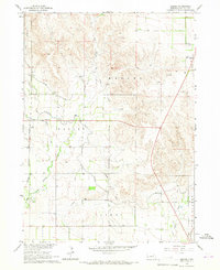
1965 · Angora
USGS Topo · 1:24,000

1965 · McGrew
USGS Topo · 1:24,000

1973 · Bridgeport SW
USGS Topo · 1:24,000
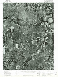
1973 · Camp Clarke 3 SE
USGS Topo · 1:24,000