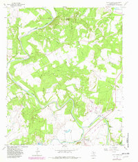
1967 Map of South Bend
USGS Topo · Published 1982About this map
The Brazos River meanders through Young County, winding past the Belknap Mountains and converging with the Clear Fork Brazos River near the small community of South Bend. This landscape is defined by the extraction economy of the mid-20th century, dotted with numerous Oil Wells and a prominent Pipeline. For local historians, the map preserves the locations of early rural institutions, including Median Chapel, Tonk Valley Ch, and family-named cemeteries such as Brooks Cem and Median Cem.
Find a feature on this map
38 named features on this map. Tap any name to fly to it.
Don’t see what you’re looking for? This feature index may not catch every label — zoom into the map to look around manually.
Map Details
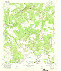
Editions of this 1967 South Bend Map
2 editions found
Other maps of this area

1890 · Breckenridge
USGS Topo · 1:125,000

1924 · Breckenridge 1-a
USGS Topo · 1:48,000

1924 · Graham 4-d
USGS Topo · 1:48,000

1925 · Graham 4-c
USGS Topo · 1:48,000

1925 · Breckenridge 1-b
USGS Topo · 1:48,000

1927 · Graham
USGS Topo · 1:62,500

1931 · Ivan
USGS Topo · 1:62,500

1954 · Abilene
USGS Topo · 1:250,000

1954 · Wichita Falls
USGS Topo · 1:250,000

1958 · Wichita Falls
USGS Topo · 1:250,000