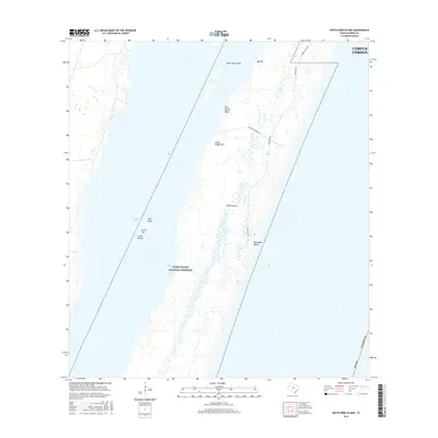
2016 Map of South Bird Island
USGS Topo · Published 2016About this map
Padre Island dominates this coastal survey, where the protected expanse of the Padre Island National Seashore meets the shifting waters of the Gulf of Mexico. This environment is defined by its transition from the sandy reaches of Malaquite Beach to the intricate network of wetlands and tidal flats along the Intracoastal Waterway. Notable elevations such as Big Hill and Little Dagger Hill rise above the surrounding terrain, providing geographic contrast to the low-lying Little Harbor and the shallow waters of Big Cove.
Find a feature on this map
17 named features on this map. Tap any name to fly to it.
Don’t see what you’re looking for? This feature index may not catch every label — zoom into the map to look around manually.
Map Details
Editions of this 2016 South Bird Island Map
This is the sole edition of this map. No revisions or reprints were ever made.
Other maps of this area

1925 · Oso Creek
USGS Topo · 1:62,500

1950 · Corpus Christi
USGS Topo · 1:250,000

1951 · South Bird Island
USGS Topo · 1:24,000

1951 · South Bird Island SE
USGS Topo · 1:24,000

1951 · South Bird Island NW
USGS Topo · 1:24,000

1951 · Point Of Rocks
USGS Topo · 1:24,000

1951 · Crane Islands SW
USGS Topo · 1:24,000

1951 · Oso Creek
USGS Topo · 1:62,500

1951 · Crane Islands
USGS Topo · 1:62,500

1951 · South Bird Island
USGS Topo · 1:62,500