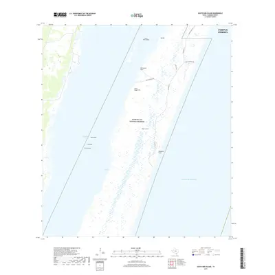
2019 Map of South Bird Island
USGS Topo · Published 2019About this map
Padre Island National Seashore dominates this coastal landscape, protecting a narrow barrier island that separates the Gulf of Mexico from the shallow waters of the Laguna Madre. The barrier island's complex geography includes prominent coastal landmarks like Big Hill, Little Dagger Hill, and the sandy expanse of Malaquite Beach. The map illustrates the specialized infrastructure of this protected area, from the primary corridor of Park Road 22 to the Nature Trail and recreational access at Bird Island Basin.
Find a feature on this map
18 named features on this map. Tap any name to fly to it.
Don’t see what you’re looking for? This feature index may not catch every label — zoom into the map to look around manually.
Map Details
Editions of this 2019 South Bird Island Map
This is the sole edition of this map. No revisions or reprints were ever made.
Other maps of this area

1925 · Oso Creek
USGS Topo · 1:62,500

1950 · Corpus Christi
USGS Topo · 1:250,000

1951 · South Bird Island
USGS Topo · 1:24,000

1951 · South Bird Island SE
USGS Topo · 1:24,000

1951 · South Bird Island NW
USGS Topo · 1:24,000

1951 · Point Of Rocks
USGS Topo · 1:24,000

1951 · Crane Islands SW
USGS Topo · 1:24,000

1951 · Oso Creek
USGS Topo · 1:62,500

1951 · Crane Islands
USGS Topo · 1:62,500

1951 · South Bird Island
USGS Topo · 1:62,500