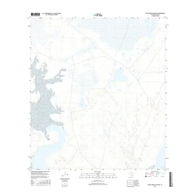
2016 Map of South Bird Island NW
USGS Topo · Published 2016About this map
Alazan Mott and the surrounding coastal wetlands of Kleberg County characterize this low-lying landscape along the Texas shoreline. This 2016 survey highlights a complex network of marshes and intermittent water bodies, such as Parra Lake, which define the region's geography. The presence of Ojo de Agua Spring provides a distinct freshwater point within the otherwise brackish environment. Along the eastern edge, the Intracoastal Waterway serves as a critical maritime corridor, cutting through the lagoons and salt flats that separate the mainland from the barrier islands. The terrain's sparse settlement and focus on water features reflect the area's ongoing role as a habitat for coastal wildlife and a waypoint for nautical transit.
Find a feature on this map
4 named features on this map. Tap any name to fly to it.
Don’t see what you’re looking for? This feature index may not catch every label — zoom into the map to look around manually.
Map Details
Editions of this 2016 South Bird Island NW Map
This is the sole edition of this map. No revisions or reprints were ever made.
Other maps of this area

1924 · Petronilla
USGS Topo · 1:62,500

1925 · Oso Creek
USGS Topo · 1:62,500

1928 · Sarita
USGS Topo · 1:125,000

1950 · Corpus Christi
USGS Topo · 1:250,000

1951 · South Bird Island
USGS Topo · 1:24,000

1951 · South Bird Island SE
USGS Topo · 1:24,000

1951 · South Bird Island NW
USGS Topo · 1:24,000

1951 · Point Of Rocks
USGS Topo · 1:24,000

1951 · Kleberg Point
USGS Topo · 1:24,000

1951 · Riviera Beach NE
USGS Topo · 1:24,000