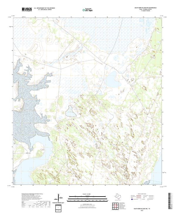
2022 Map of South Bird Island NW
USGS Topo · Published 2022About this map
Intracoastal Waterway defines the southeastern edge of this coastal landscape in Kleberg County, where the Texas shoreline meets an intricate network of wetlands and tidal flats. The interior is characterized by scattered water features, including Ojo de Agua Spring and the shallow expanse of Parra Lake, set against a low-lying terrain of scrub and salt marshes. The presence of Alazan Mott provides a distinctive landmark amidst the shifting hydrology of the barrier island environment. This 2022 survey documents the modern state of the coastal plains, showing the delicate balance of salt-water channels and isolated freshwater springs that have sustained both the ecology and the remote ranching interests of the South Texas coast for generations.
Find a feature on this map
4 named features on this map. Tap any name to fly to it.
Don’t see what you’re looking for? This feature index may not catch every label — zoom into the map to look around manually.
Map Details
Editions of this 2022 South Bird Island NW Map
This is the sole edition of this map. No revisions or reprints were ever made.
Other maps of this area

1924 · Petronilla
USGS Topo · 1:62,500

1925 · Oso Creek
USGS Topo · 1:62,500

1928 · Sarita
USGS Topo · 1:125,000

1950 · Corpus Christi
USGS Topo · 1:250,000

1951 · South Bird Island
USGS Topo · 1:24,000

1951 · South Bird Island SE
USGS Topo · 1:24,000

1951 · South Bird Island NW
USGS Topo · 1:24,000

1951 · Point Of Rocks
USGS Topo · 1:24,000

1951 · Kleberg Point
USGS Topo · 1:24,000

1951 · Riviera Beach NE
USGS Topo · 1:24,000