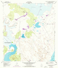
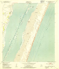
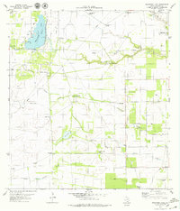
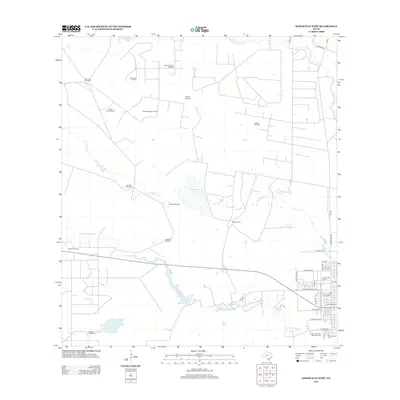
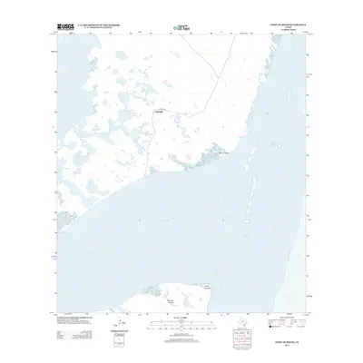
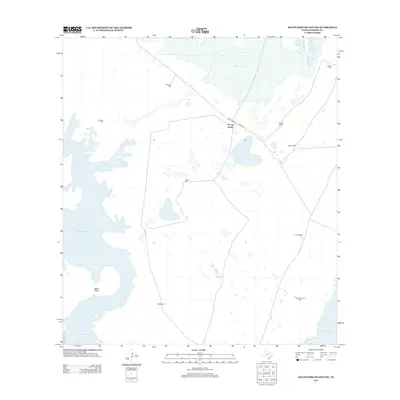
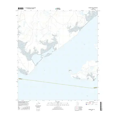
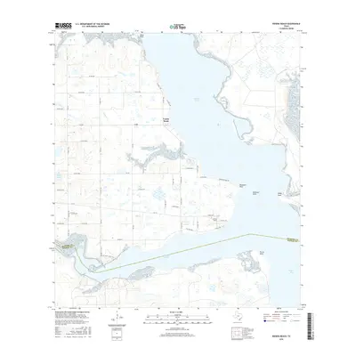
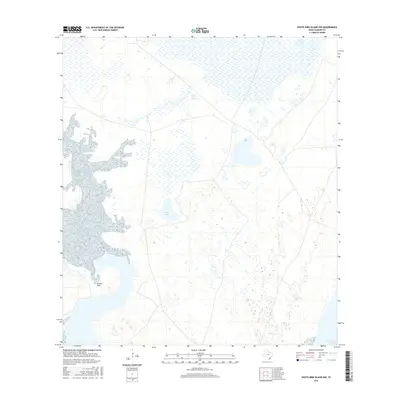
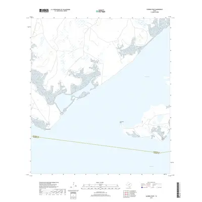
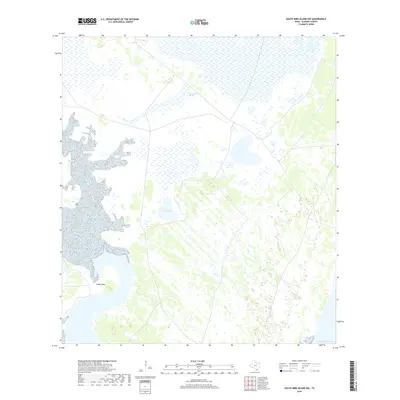
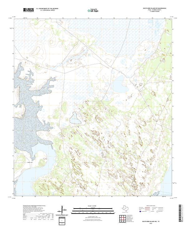
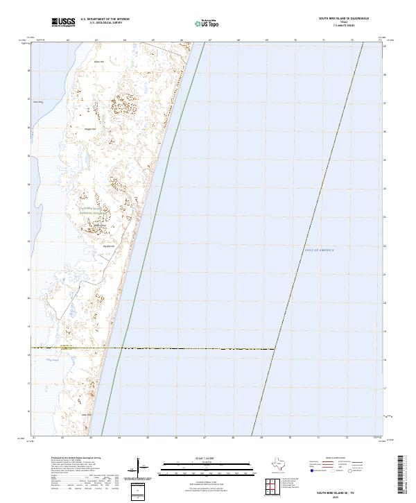
1951 Map of South Bird Island NW
USGS Topo · Published 1977About this map
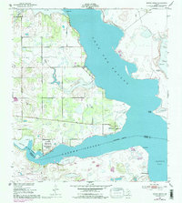
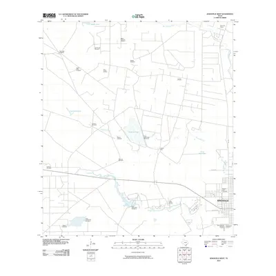
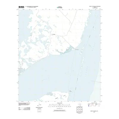
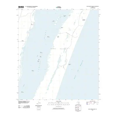
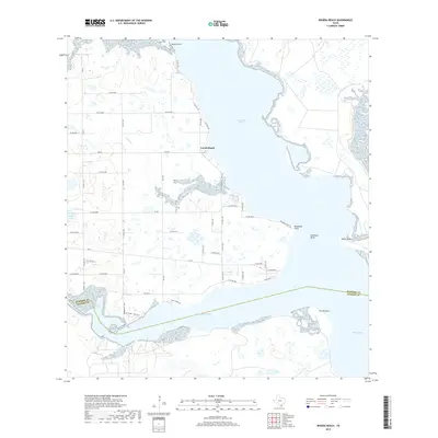
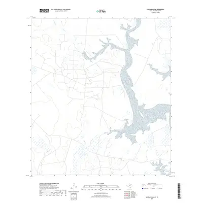
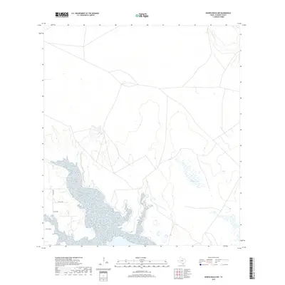
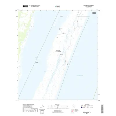
Laguna Larga and the northern reaches of Laguna Madre dominate this coastal landscape, which was surveyed at mid-century and updated in the 1970s. The terrain is characterized by a sophisticated network of water management, evidenced by numerous family-named artesian wells and windmills that supported ranching operations in this arid coastal environment. Notable features like Esperanza Artesian Well and Ojo de Agua suggest the vital importance of freshwater access near the saline waters of Alazan Bay. The map reveals the intricate shoreline of Cayo de Hinoso and Alazan Mott, while a long Pipeline cuts across the wetlands, signaling the growing industrial presence alongside traditional ranching. Local geography is further defined by isolated bodies like Parra Lake, providing a detailed look at the hydrology and land use of Kleberg County.
Find a feature on this map
25 named features on this map. Tap any name to fly to it.
Don’t see what you’re looking for? This feature index may not catch every label — zoom into the map to look around manually.
Map Details
Editions of this 1951 South Bird Island NW Map
2 editions found
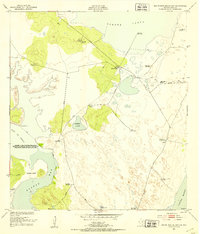
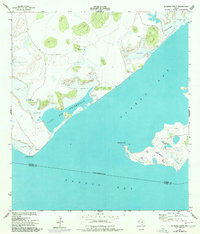
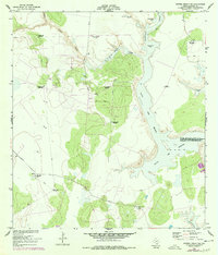
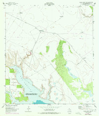
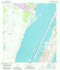
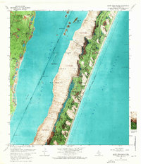
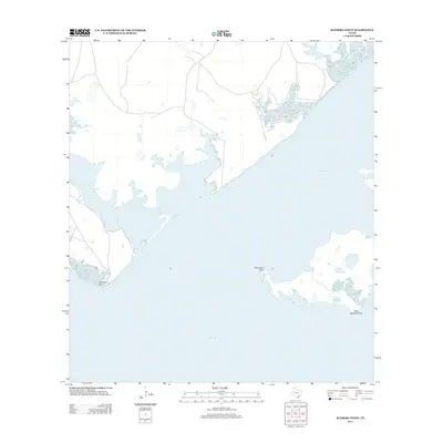
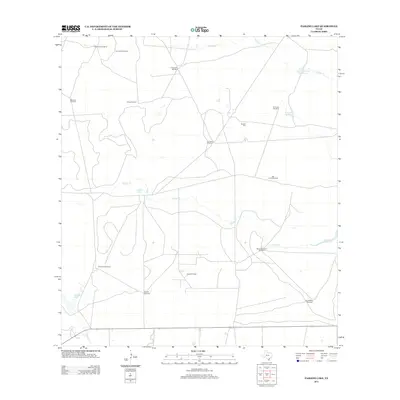
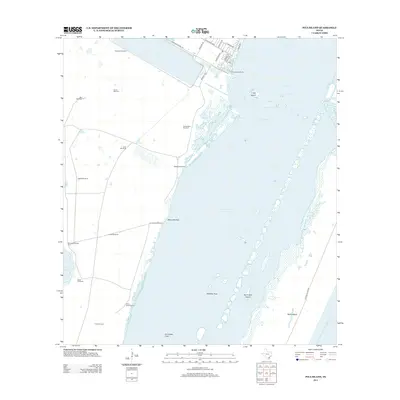
Historical Maps of Kleberg County Through Time
78 maps found
1951 Kleberg Point
Kleberg County, TX

1951 Point Of Rocks
Kleberg County, TX
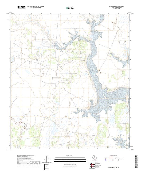
1951 Riviera Beach NE
Kleberg County, TX
1951 South Bird Island
Kleberg County, TX
1951 South Bird Island
Kleberg County, TX
1951 South Bird Island NW
Kleberg County, TX
1951 South Bird Island SE
Kleberg County, TX
1952 Riviera Beach
Kleberg County, TX
1952 Riviera Beach
Kleberg County, TX
1952 Riviera Beach NW
Kleberg County, TX
1969 Pita Island
Kleberg County, TX
1969 South Bird Island
Kleberg County, TX
1979 Escondido Lake
Kleberg County, TX
1979 Kingsville West
Kleberg County, TX
1979 Paisano Lake
Kleberg County, TX
2010 Escondido Lake
Kleberg County, TX
2010 Kingsville West
Kleberg County, TX
2010 Kleberg Point
Kleberg County, TX
2010 Paisano Lake
Kleberg County, TX
2010 Pita Island
Kleberg County, TX
2010 Point of Rocks
Kleberg County, TX
2010 Riviera Beach
Kleberg County, TX
2010 Riviera Beach NE
Kleberg County, TX
2010 Riviera Beach NW
Kleberg County, TX
2010 South Bird Island
Kleberg County, TX
2010 South Bird Island NW
Kleberg County, TX
2010 South Bird Island SE
Kleberg County, TX
2013 Escondido Lake
Kleberg County, TX
2013 Kingsville West
Kleberg County, TX
2013 Kleberg Point
Kleberg County, TX
2013 Paisano Lake
Kleberg County, TX
2013 Pita Island
Kleberg County, TX
2013 Point of Rocks
Kleberg County, TX
2013 Riviera Beach
Kleberg County, TX
2013 Riviera Beach NE
Kleberg County, TX
2013 Riviera Beach NW
Kleberg County, TX

2013 South Bird Island
Kleberg County, TX
2013 South Bird Island NW
Kleberg County, TX
2013 South Bird Island SE
Kleberg County, TX
2016 Escondido Lake
Kleberg County, TX
2016 Kingsville West
Kleberg County, TX
2016 Kleberg Point
Kleberg County, TX
2016 Paisano Lake
Kleberg County, TX
2016 Pita Island
Kleberg County, TX
2016 Point of Rocks
Kleberg County, TX
2016 Riviera Beach
Kleberg County, TX
2016 Riviera Beach NE
Kleberg County, TX
2016 Riviera Beach NW
Kleberg County, TX
2016 South Bird Island
Kleberg County, TX
2016 South Bird Island NW
Kleberg County, TX
2016 South Bird Island SE
Kleberg County, TX
2019 Escondido Lake
Kleberg County, TX
2019 Kingsville West
Kleberg County, TX
2019 Kleberg Point
Kleberg County, TX
2019 Paisano Lake
Kleberg County, TX
2019 Pita Island
Kleberg County, TX
2019 Point of Rocks
Kleberg County, TX
2019 Riviera Beach
Kleberg County, TX
2019 Riviera Beach NE
Kleberg County, TX
2019 Riviera Beach NW
Kleberg County, TX
2019 South Bird Island
Kleberg County, TX
2019 South Bird Island NW
Kleberg County, TX
2019 South Bird Island SE
Kleberg County, TX
2022 Escondido Lake
Kleberg County, TX
2022 Kingsville West
Kleberg County, TX
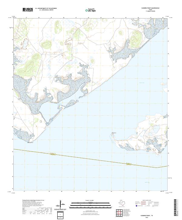
2022 Kleberg Point
Kleberg County, TX
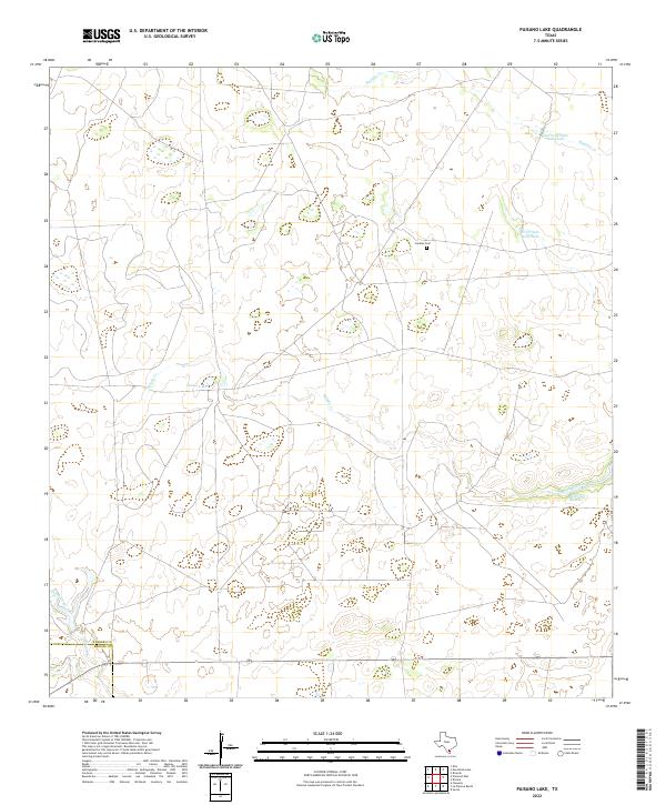
2022 Paisano Lake
Kleberg County, TX

2022 Pita Island
Kleberg County, TX
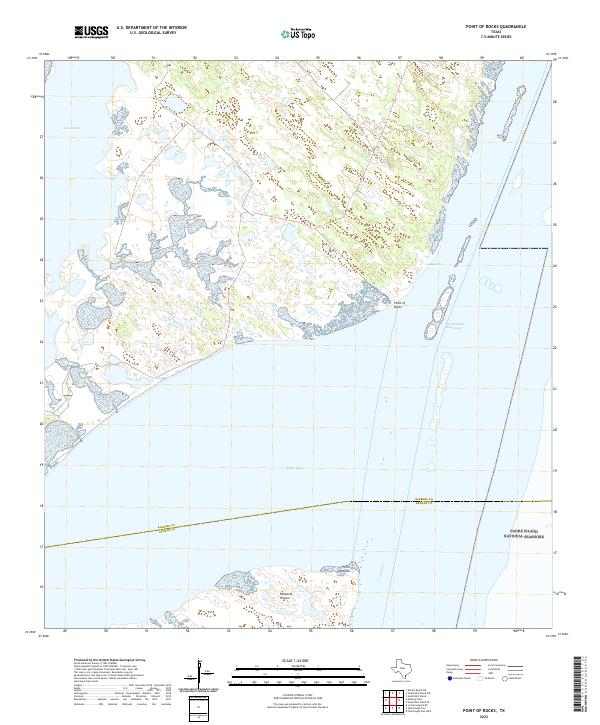
2022 Point of Rocks
Kleberg County, TX
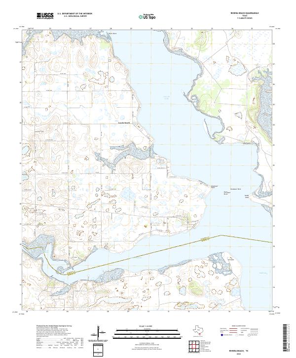
2022 Riviera Beach
Kleberg County, TX
2022 Riviera Beach NE
Kleberg County, TX
2022 South Bird Island
Kleberg County, TX
2022 South Bird Island NW
Kleberg County, TX
2022 South Bird Island SE
Kleberg County, TX
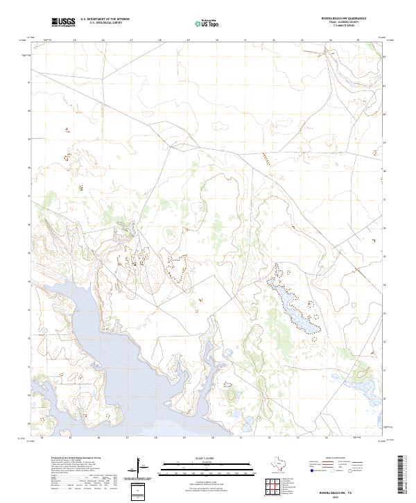
2023 Riviera Beach NW
Kleberg County, TX
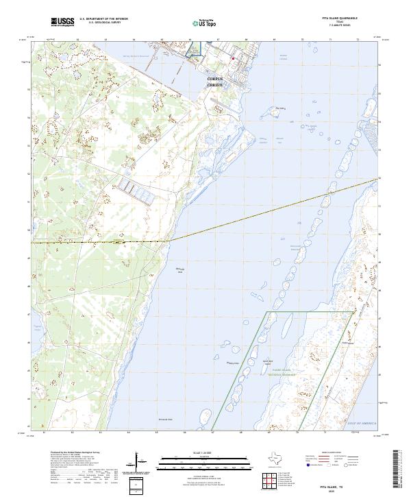
2025 Pita Island
Kleberg County, TX
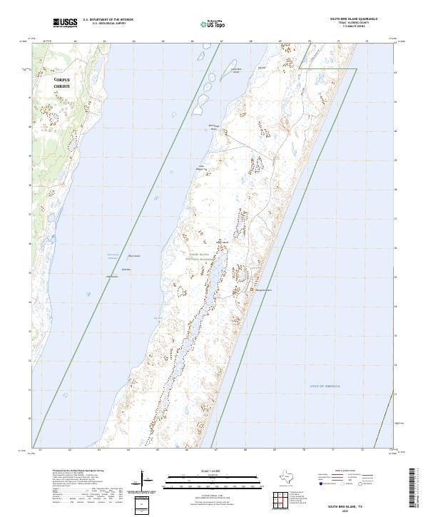
2025 South Bird Island
Kleberg County, TX
2025 South Bird Island SE
Kleberg County, TX