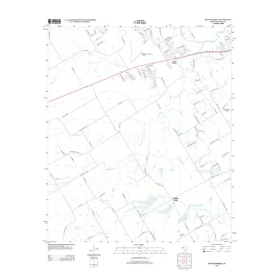
2012 Map of South Bosque
USGS Topo · Published 2012About this map
The confluence of the Middle Bosque River and the S Bosque River defines this landscape southwest of Waco, where suburban expansion meets rural McLennan County heritage. The map documents a transition from established settlements like South Bosque and Spring Valley to modern infrastructure such as the Mc Gregor Executive Airport and Rabbit Run Airport. For those looking into family roots, the Horne Cem is located near the southern reaches of N Cow Bayou. The terrain is characterized by hydrological management, seen in the numerous reservoirs of the Soil Conservation Service, and elevated landmarks like Hubby Hill. This 2012 record preserves the placement of local thoroughfares ranging from the Cotton Belt Pkwy to family-named routes like L W Hatter Trl and McKamie Rd.
Find a feature on this map
106 named features on this map. Tap any name to fly to it.
Don’t see what you’re looking for? This feature index may not catch every label — zoom into the map to look around manually.
Map Details
Editions of this 2012 South Bosque Map
This is the sole edition of this map. No revisions or reprints were ever made.
Other maps of this area

1892 · Temple
USGS Topo · 1:125,000

1892 · Waco
USGS Topo · 1:125,000

1920 · Waco
USGS Topo · 1:125,000

1924 · Waco 4-c
USGS Topo · 1:48,000

1924 · Waco 3-d
USGS Topo · 1:48,000

1924 · Temple 2-C
USGS Topo · 1:48,000

1931 · Valley Mills
USGS Topo · 1:62,500

1931 · Elm Mott
USGS Topo · 1:62,500

1931 · Mc Gregor
USGS Topo · 1:62,500

1954 · Waco
USGS Topo · 1:250,000