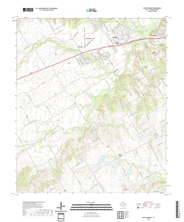
2022 Map of South Bosque
USGS Topo · Published 2022About this map
The confluence of the Middle Bosque River and the South Bosque River defines this McLennan County landscape, where suburban expansion meets the rolling Texas prairie. The community of Woodway and the settlement of South Bosque sit at the northern edge of the sheet, connected by the corridor of Woodway Dr. To the south, the terrain becomes more agricultural and hydrological, marked by the winding path of Cow Bayou and several managed water features, including the Soil Conservation Service Site 10 Reservoir.
Find a feature on this map
121 named features on this map. Tap any name to fly to it.
Don’t see what you’re looking for? This feature index may not catch every label — zoom into the map to look around manually.
Map Details
Editions of this 2022 South Bosque Map
This is the sole edition of this map. No revisions or reprints were ever made.
Other maps of this area

1892 · Temple
USGS Topo · 1:125,000

1892 · Waco
USGS Topo · 1:125,000

1920 · Waco
USGS Topo · 1:125,000

1924 · Waco 4-c
USGS Topo · 1:48,000

1924 · Waco 3-d
USGS Topo · 1:48,000

1924 · Temple 2-C
USGS Topo · 1:48,000

1931 · Valley Mills
USGS Topo · 1:62,500

1931 · Elm Mott
USGS Topo · 1:62,500

1931 · Mc Gregor
USGS Topo · 1:62,500

1954 · Waco
USGS Topo · 1:250,000