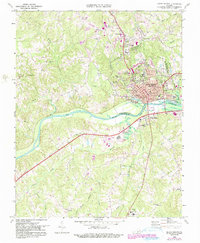
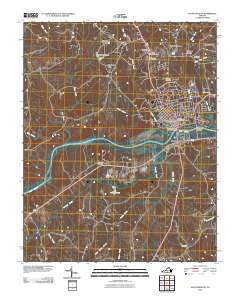
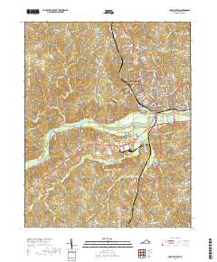
1969 Map of South Boston
USGS Topo · Published 1990About this map
The Dan River winds through the heart of this Halifax County landscape, defining the southern border of South Boston as the city expanded northward towards Centerville. In the late 1960s, the area's development was concentrated along major corridors like Wilborn Ave and the Norfolk and Western railroad lines, which supported the local tobacco-based economy and industrial growth. The map captures a transition as newer suburban elements like Halifax Mem Gardens and various Trailer Parks emerged alongside established community anchors such as Oak Ridge Cemetery.
Find a feature on this map
58 named features on this map. Tap any name to fly to it.
Don’t see what you’re looking for? This feature index may not catch every label — zoom into the map to look around manually.
Map Details
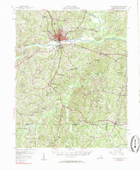
Editions of this 1969 South Boston Map
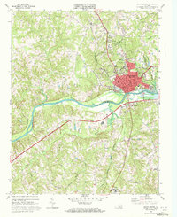
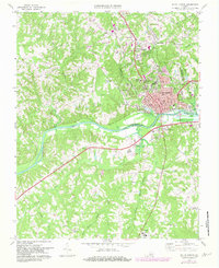
Historical Maps of South Boston Through Time
9 maps found

1953 South Boston
Halifax County, VA
1957 South Boston
Halifax County, VA
1969 South Boston
Halifax County, VA
1984 South Boston
Halifax County, VA
2010 South Boston
Halifax County, VA
2013 South Boston
Halifax County, VA
2016 South Boston
Halifax County, VA
2019 South Boston
Halifax County, VA
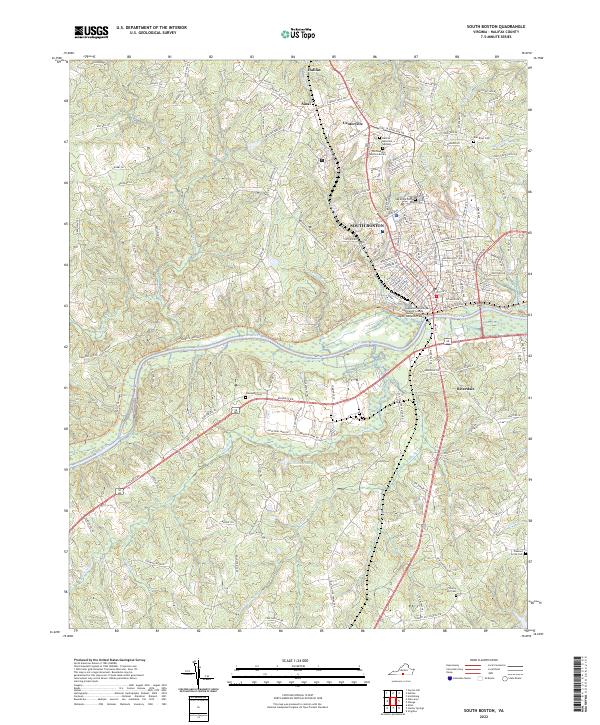
2022 South Boston
Halifax County, VA